151.7 acres in Dawson County, Nebraska
Location: From Lexington, Nebraska west on Highway 30 to Road 428, north 7 miles to Road 764.
Legal
Description: SE1/4 except 1.0 acre for cemetery, and except part of the North 533.22 feet of the East 576.75 feet
Section 20-T11N-R22W of the 6th P.M., Dawson County, Nebraska.
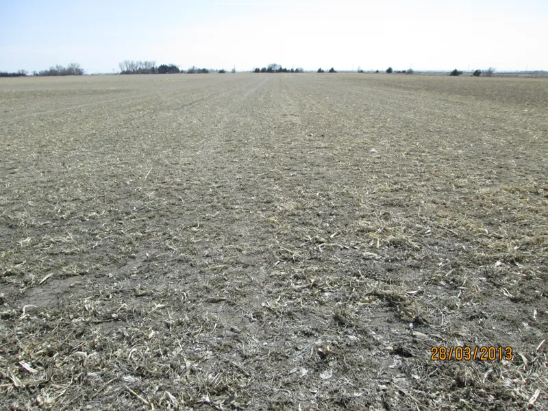
Property
Description: Dawson County Assessor indicates a total of 151.7 tax assessed acres. Farm consists of 77.4 acres of
gravity irrigated cropland, with the balance in pasture.
Farm Service Agency
Information: Information from the Dawson County Farm Service Agency indicates the following:
Total Cropland - 77.4 acres
Government Base Acres - Corn 77.4 acres at 129 bu/acre
Irrigation
Information: Water for irrigation is provided by surface rights and one irrigation well with a belt driven pump.
Well Registration G002412 Completion Date 12/5/1956 at 960 gpm
Well Depth 104 Pump - Layne Bowler, belt drive
Column 8
Property receives 74.0 acres of surface water rights from the Nebraska Public Power & Irrigation
District.
Natural Resource District
Information: Farm is located in the Central Platte Natural Resource District and contains a total of 77.4 certified
irrigated acres.
Soils: Cozad silt loam, and Coly-Hobbs silt loam.
Taxes: 2012 Real Estate Tax - $3,359.34
List Price: $525,000.00 Cash PRICE REDUCED!
Comments: Farm is good quality with productive soils. Farm sells subject to verbal 2013 cash farm leases.
From elevation to risk assessment
Search for detailed parcel information including; Elevation & Vegetation Maps, Ownership Information, Detailed Parcel Information, Crop History Map, Soil Survey Productivity Data, and more.
Research Parcel InformationResources
Land for Sale by Tony Eggleston
Dawson County Properties By Type
- Farms for Sale in Dawson County, Nebraska
- Ranches for Sale in Dawson County, Nebraska
- Commercial Property for Sale in Dawson County, Nebraska
- Hunting Land for Sale in Dawson County, Nebraska
- Recreational Property for Sale in Dawson County, Nebraska
- Riverfront Property for Sale in Dawson County, Nebraska
- Timberland for Sale in Dawson County, Nebraska
- Lakefront Property for Sale in Dawson County, Nebraska
- Residential Property for Sale in Dawson County, Nebraska
- Undeveloped Land for Sale in Dawson County, Nebraska
- Horse Property for Sale in Dawson County, Nebraska
- Beachfront Property for Sale in Dawson County, Nebraska
Properties for Sale Nearby Counties
Dawson County Properties By City
- Cozad, Nebraska Land for Sale
- Eddyville, Nebraska Land for Sale
- Farnam, Nebraska Land for Sale
- Gothenburg, Nebraska Land for Sale
- Lexington, Nebraska Land for Sale
- Overton, Nebraska Land for Sale
- Sumner, Nebraska Land for Sale
- Willow Island, Nebraska Land for Sale
- Buffalo, Nebraska Land for Sale
- Darr, Nebraska Land for Sale
- Josselyn, Nebraska Land for Sale
- Trued, Nebraska Land for Sale