Rake Farm
LOCATION: 1 mile northwest of Lexington, Nebraska. (located on the corner of Road 432 and Road 758)
LEGAL
DESCRIPTION: NW1/4 except a tract located in the northeast corner, Section 30-T10N-R21W of the 6th P.M., Dawson County, Nebraska.
PROPERTY
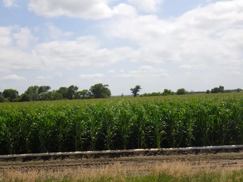
DESCRIPTION: Dawson County Assessor indicates a total of 152.08 acres. Farm consists of gravity irrigated cropland with pasture.
FARM SERVICE AGENCY
INFORMATION: Total Cropland - 111.7 acres
Government Base Acres - Corn 111.7 acres with PLC yield of 187 bu/acre
SOILS: Cropland soils consist primarily of Class I and II Cozad, Hall, Rusco, and Hord silt loams, with slopes of 0-1%. Pasture soils consist primarily of Coly and Hobbs silt loams, with slopes of 0-30%.
IRRIGATION
INFORMATION: South Well North Well
Well Registration G007928 G007929
Completion Date 3/25/2015 at 1,000 gpm 7/29/1954 at 980 gpm
Well Depth 230 117
Static Water Level 10 17
Pumping Level 56 52
Column 8 8
Pump 25 hp electric submersible Western Land Roller
Power Unit 20 hp electric motor
Well Guard Control panel Cutler Hammer Control Panel
NATURAL RESOURCE DISTRICT
INFORMATION: Farm is located in the Central Platte Natural Resource District and contains a total of 111.7 certified irrigated acres.
REAL ESTATE
TAXES: 2015 Real Estate Taxes - $7,878.68
LIST PRICE: $735,000.00 Cash or Terms acceptable to Seller
COMMENTS: Farm offers good location, along with very productive soils. Seller will consider selling on contract. Farm sells subject to a cash farm lease.
From elevation to risk assessment
Search for detailed parcel information including; Elevation & Vegetation Maps, Ownership Information, Detailed Parcel Information, Crop History Map, Soil Survey Productivity Data, and more.
Research Parcel InformationResources
Land for Sale by Tony Eggleston
Dawson County Properties By Type
- Farms for Sale in Dawson County, Nebraska
- Ranches for Sale in Dawson County, Nebraska
- Commercial Property for Sale in Dawson County, Nebraska
- Riverfront Property for Sale in Dawson County, Nebraska
- Lakefront Property for Sale in Dawson County, Nebraska
- Hunting Land for Sale in Dawson County, Nebraska
- Recreational Property for Sale in Dawson County, Nebraska
- Timberland for Sale in Dawson County, Nebraska
- Undeveloped Land for Sale in Dawson County, Nebraska
- Residential Property for Sale in Dawson County, Nebraska
- Horse Property for Sale in Dawson County, Nebraska
- Beachfront Property for Sale in Dawson County, Nebraska
Properties for Sale Nearby Counties
Dawson County Properties By City
- Cozad, Nebraska Land for Sale
- Eddyville, Nebraska Land for Sale
- Farnam, Nebraska Land for Sale
- Gothenburg, Nebraska Land for Sale
- Lexington, Nebraska Land for Sale
- Overton, Nebraska Land for Sale
- Sumner, Nebraska Land for Sale
- Willow Island, Nebraska Land for Sale
- Buffalo, Nebraska Land for Sale
- Darr, Nebraska Land for Sale
- Josselyn, Nebraska Land for Sale
- Trued, Nebraska Land for Sale