Auction Information
157 acres in Caddo County, Oklahoma
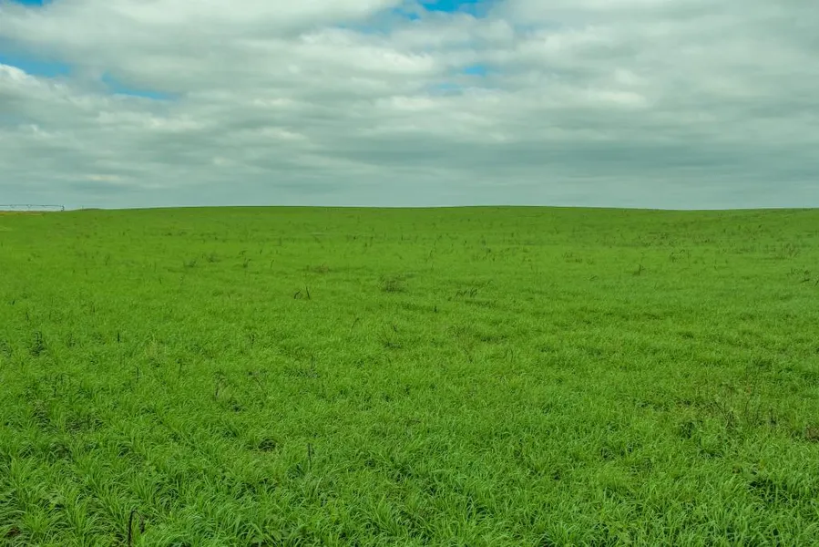
TRACT 1 157 Acres (+/-) of Center Pivot Irrigated Cropland LEGAL DESCRIPTION - The Southwest Quarter (SW/4), Section Thirty Three (Sec. 33), Township Ten North (T10N), Range Twelve West (R12W), Indian Meridian, Caddo County, Oklahoma. Surface rights only. Less and Except a tract of land in the Northwest corner described by a metes and bounds description and containing 3(+/-) acres.This tract of land has full cultivation under the center pivot and the corners are well established in improved Bermuda grass. The FSA records indicate 154.57 acres of farmland with 147.91 acres of cropland. This farm is enrolled in the PLC program and has 100.21 acres of wheat base with an average yield of 37 bu./a. and 47.7 acres of corn base with an average yield of 111 bu./a. This tract has 2600 of frontage on State Highway 152, 1900 on CS 2530 and is accessible from both roads. The irrigation consist of a 2002 Lindsay Zimmatic center pivot with drops and I-Wob sprinklers. The pivot has 8654 hrs. and is tipped at 800 GPM. The pump is an 8 turbine with a Newman
150 HP vertical electric motor. Possession will be following the harvest of the 2018 wheat crop or upon closing, whichever is later.
From elevation to risk assessment
Search for detailed parcel information including; Elevation & Vegetation Maps, Ownership Information, Detailed Parcel Information, Crop History Map, Soil Survey Productivity Data, and more.
Research Parcel InformationDirections
PROPERTY LOCATION From the Intersection of Highway 58 & 152 South of Eakly, 5 Miles East on Highway 152
GPS Coordinates: 35.294333, -98.478389
Caddo County Properties By Type
- Farms for Sale in Caddo County, Oklahoma
- Commercial Property for Sale in Caddo County, Oklahoma
- Hunting Land for Sale in Caddo County, Oklahoma
- Lakefront Property for Sale in Caddo County, Oklahoma
- Undeveloped Land for Sale in Caddo County, Oklahoma
- Ranches for Sale in Caddo County, Oklahoma
- Riverfront Property for Sale in Caddo County, Oklahoma
- Residential Property for Sale in Caddo County, Oklahoma
- Recreational Property for Sale in Caddo County, Oklahoma
- Horse Property for Sale in Caddo County, Oklahoma
- Timberland for Sale in Caddo County, Oklahoma
- Beachfront Property for Sale in Caddo County, Oklahoma
Properties for Sale Nearby Counties
Caddo County Properties By City
- Albert, Oklahoma Land for Sale
- Anadarko, Oklahoma Land for Sale
- Apache, Oklahoma Land for Sale
- Binger, Oklahoma Land for Sale
- Carnegie, Oklahoma Land for Sale
- Cement, Oklahoma Land for Sale
- Cyril, Oklahoma Land for Sale
- Eakly, Oklahoma Land for Sale
- Fort Cobb, Oklahoma Land for Sale
- Gracemont, Oklahoma Land for Sale
- Hinton, Oklahoma Land for Sale
- Hydro, Oklahoma Land for Sale
- More
- Lookeba, Oklahoma Land for Sale
- Washita, Oklahoma Land for Sale
- Alden, Oklahoma Land for Sale
- Alfalfa, Oklahoma Land for Sale
- Apache Wye, Oklahoma Land for Sale
- Boone, Oklahoma Land for Sale
- Bridgeport, Oklahoma Land for Sale
- Broxton, Oklahoma Land for Sale
- Cogar, Oklahoma Land for Sale
- Hatchetville, Oklahoma Land for Sale
- Indian City, Oklahoma Land for Sale
- Nowhere, Oklahoma Land for Sale
- Pine Ridge, Oklahoma Land for Sale
- Scott, Oklahoma Land for Sale
- Sickles, Oklahoma Land for Sale
- Spring Creek, Oklahoma Land for Sale
- Squaretop, Oklahoma Land for Sale
- Stecker, Oklahoma Land for Sale
- Swan Lake, Oklahoma Land for Sale
- Three-Way Corner, Oklahoma Land for Sale