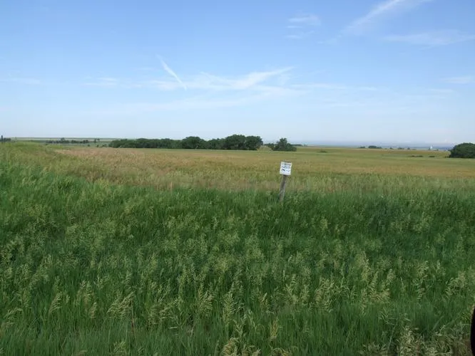
160 acres in Graham County, Kansas
Description
LEGAL DESCRIPTION: NW/4 OF 23-9-22
LOCATION: From the intersection of Hwys 24 and 283 in Hill city, go 8 miles South to I Road, 5 miles East to 320th Avenue, then ½ mile North to the SW corner of the property. SIGNS WILL BE POSTED!
MINERAL RIGHTS: Minerals are believed to be 100% intact, and all the Seller’s interest will transfer to the Buyer at closing.
CROPS: There are no growing crops.
FSA INFORMATION: Cropland acres: 142.0
BASE ACRES DPC YIELD
Wheat 69.8 23
Grain Sorghum 37.1 29
Buyer will receive 100% of all FSA payments associated with the 2010 crop year.
POSSESSION: Date of closing.
REAL ESTATE TAXES: Seller will pay taxes for all of 2009 and prior years. Taxes for 2010 will be prorated to the date of closing. (2009 taxes = $164.25)
PRICE: $128,000
From elevation to risk assessment
Search for detailed parcel information including; Elevation & Vegetation Maps, Ownership Information, Detailed Parcel Information, Crop History Map, Soil Survey Productivity Data, and more.
Research Parcel InformationEnvironmental Factors
Resources
Graham County Properties By Type
- Hunting Land for Sale in Graham County, Kansas
- Timberland for Sale in Graham County, Kansas
- Farms for Sale in Graham County, Kansas
- Residential Property for Sale in Graham County, Kansas
- Commercial Property for Sale in Graham County, Kansas
- Undeveloped Land for Sale in Graham County, Kansas
- Ranches for Sale in Graham County, Kansas
- Recreational Property for Sale in Graham County, Kansas
- Horse Property for Sale in Graham County, Kansas
- Lakefront Property for Sale in Graham County, Kansas
- Beachfront Property for Sale in Graham County, Kansas
- Riverfront Property for Sale in Graham County, Kansas