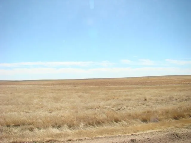
160 acres in Wallace County, Kansas
LEGAL DESCRIPTION: NE/4 of 6-13-39
LOCATION: From the intersection of Hwys 27 and Hwy 40 at Sharon Springs, Kansas, go 4 miles North to Sandy Road, and 2 miles East to the NW corner of the property. SIGNS WILL BE POSTED!
MINERAL RIGHTS: All of the Sellers interest will transfer to the Buyer at closing.
CRP INFORMATION: There are 154.88 acres currently enrolled in the CRP program through 9/30/20 at $33.50 per acre for a total annual payment of $5,189
The 2014 CRP payment, which will accrue from October 1, 2013, through September 30, 2014, will be prorated to the date of closing. Buyer will receive the landlords 1/3rd share of the prorated payments.
POSSESSION: Date of closing.
REAL ESTATE TAXES: Seller will pay taxes for 2013 and prior years. Taxes for 2014 will be prorated to the date of closing. (2013 taxes = $382.24)
PRICE: $152,000
From elevation to risk assessment
Search for detailed parcel information including; Elevation & Vegetation Maps, Ownership Information, Detailed Parcel Information, Crop History Map, Soil Survey Productivity Data, and more.
Research Parcel InformationEnvironmental Factors
Resources
Land for Sale by Donald L. Hazlett
Wallace County Properties By Type
- Hunting Land for Sale in Wallace County, Kansas
- Farms for Sale in Wallace County, Kansas
- Commercial Property for Sale in Wallace County, Kansas
- Ranches for Sale in Wallace County, Kansas
- Residential Property for Sale in Wallace County, Kansas
- Horse Property for Sale in Wallace County, Kansas
- Recreational Property for Sale in Wallace County, Kansas
- Undeveloped Land for Sale in Wallace County, Kansas
- Timberland for Sale in Wallace County, Kansas
- Lakefront Property for Sale in Wallace County, Kansas
- Beachfront Property for Sale in Wallace County, Kansas
- Riverfront Property for Sale in Wallace County, Kansas