Garnder Farm Parcel 5
Offered in six separate parcels, Gardner Farms, Inc. was established in 1972 with three bank loans, and was put together one piece at a time like a puzzle. This one border fenced block of prime Box Butte County center-pivot irrigated farm and ranch land is located in the Snake Creek Valley eleven miles west of Alliance, Nebraska. Spanning 5,774 deeded acres +/-, the subject property is comprised of 1,523.9 irrigated acres +/- and 4,250 acres +/- of dry land farm ground, sub-irrigated meadows and pasture. The soils are sandy silt loam which produces excellent crops and grazing. All eleven center-pivot irrigated circles have excellent shallow irrigation wells in the prolific Arikaree Aquifer, with shallow levels that have stayed nearly static over the past 40 years. The wells and pivots have been annually serviced by Western Valley Irrigation and Dustin White Pump Service and are electric powered (PREMA) except for #31 circle, which is powered by a John Deere diesel generator. These irrigation wells are metered and have been conservatively used with a large unused future water reserve established with the Upper Niobrara White Natural Resource District. This subject property has been well cared for and managed by the owner/operator (farmer-rancher) in cooperation with good tenant farmers and ranchers. The farm raises corn (220 bu/a in 2015), wheat (100-120 bu/a in most years), edible beans (40-50 bu/a most years), sugar beets with top yields, excellent dairy alfalfa for many years and excellent potatoes (cash rented) on all circles over the past 40 years. For the avid bird hunter the subject property is covered in pheasants during the winter months.
Parcel Breakout
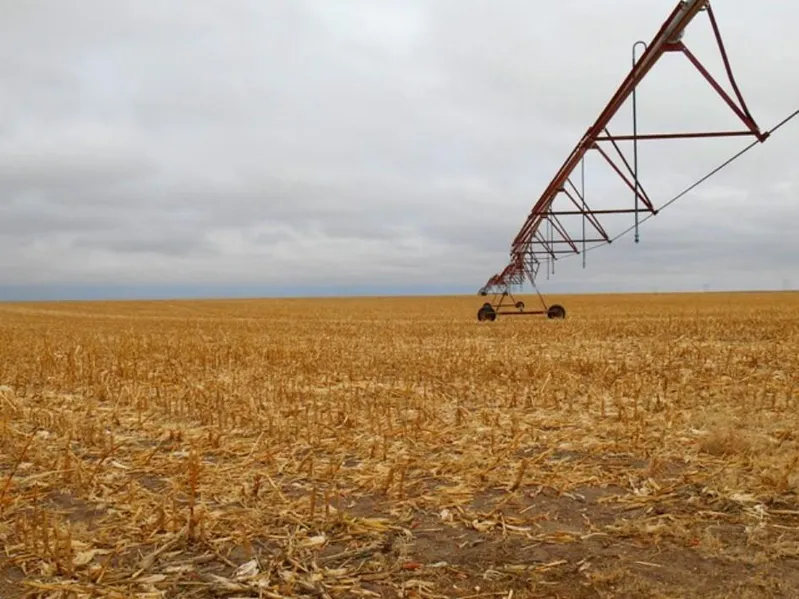
PARCEL 5 - This parcel is comprised of 170 acres +/- with 128.6 irrigated acres (Pivot #31). This pivot is powered by a John Deere diesel generator. Its well permit is G-084418.
From elevation to risk assessment
Search for detailed parcel information including; Elevation & Vegetation Maps, Ownership Information, Detailed Parcel Information, Crop History Map, Soil Survey Productivity Data, and more.
Research Parcel InformationLand for Sale by Creed James
Box Butte County Properties By Type
- Farms for Sale in Box Butte County, Nebraska
- Commercial Property for Sale in Box Butte County, Nebraska
- Ranches for Sale in Box Butte County, Nebraska
- Hunting Land for Sale in Box Butte County, Nebraska
- Residential Property for Sale in Box Butte County, Nebraska
- Recreational Property for Sale in Box Butte County, Nebraska
- Horse Property for Sale in Box Butte County, Nebraska
- Undeveloped Land for Sale in Box Butte County, Nebraska
- Lakefront Property for Sale in Box Butte County, Nebraska
- Beachfront Property for Sale in Box Butte County, Nebraska
- Riverfront Property for Sale in Box Butte County, Nebraska
- Timberland for Sale in Box Butte County, Nebraska