Auction Information
1,742 acres in Benton County, Washington
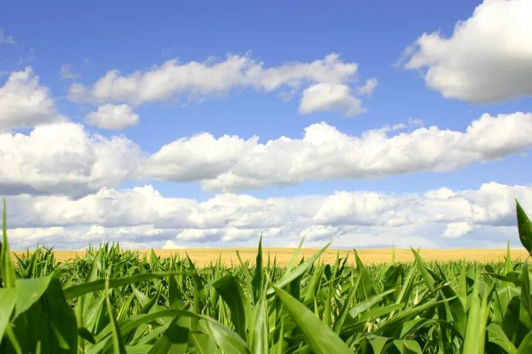
Excellent Opportunity to Purchase Quality, Southeastern Washington Farm Ground
The farm is located in Benton County, Washington, approximately seven miles north of Paterson, Washington and one mile west of Highway 221 on the north side of Horrigan Road. Paterson is situated on SR 14 approximately thirteen miles west of Interstate 82/Highway 395 near the Washington/Oregon border. The farm is approximately thirty minutes from the metropolitan hub of the Tri-Cities, Washington and about fifteen minutes from Prosser, Washington or Hermiston, Oregon.
There are approximately 1,742? acres owned and 174? leased DNR land controlled through long-term leases. Of the total acreage, 914? of the owned acres and173? of the leased acres are farmed under pivots. There are a total of607?acres in CRP. Additionally, there is approximately 232 acres of unused ground.
The irrigation for the property is through Water Permits from Washington State Department of Ecology and is identified as permit G4-24758P. The permit allows for usage from March 1 through November 1 annually for 1,100? acres.
The parcels are irrigated with well water from deep wells. The average well depth is approximately 1,250 feet with the bowls set at about 600 feet and static water levels are approximately 450 feet. The average cost of irrigation is between $120 - $150 per acre, depending upon the crop and the weather for the season. Due to high pH in the water, there is an additional $50?/acre expense to adjust the pH for the specific crops. Pivots are all Zimmatic systems that are newer than ten years each with full telemetric control. All of the buried pipe and mainlines are high pressure PVC.
Power is provided by Benton Rural Electric Co-Operative and is charged with an annual start-up capacity charge, then billed according to usage.
Parcel 1
1,132? Deeded acres plus 40? DNR acres.
532.8? Deeded acres under pivot and 40? DNR acres under pivot
Parcel 2
610? Deeded acres plus 8.3? DNR acres
381.4? Deeded acres under pivot and 40? DNR acres under pivot
Parcel 3
125.5? DNR acres
125.5? DNR acres under pivot
Parcel 4
80? x 270? Packing/Shipping Facility w/Office
80? x 200? Mid-Term Onion/Potato Storage
80? x 200? Long Term Onion/Potato Storage
Truck Scales
Parcel 5
80? x 240? Short-Term Onion/Potato Storage
Parcel 6
80? x 200? Mid-Term Onion/Potato Storage
Parcel 7
XX Acres Vacant Land
Zoned Industrial
From elevation to risk assessment
Search for detailed parcel information including; Elevation & Vegetation Maps, Ownership Information, Detailed Parcel Information, Crop History Map, Soil Survey Productivity Data, and more.
Research Parcel InformationEnvironmental Factors
Benton County Properties By Type
- Lakefront Property for Sale in Benton County, Washington
- Undeveloped Land for Sale in Benton County, Washington
- Farms for Sale in Benton County, Washington
- Riverfront Property for Sale in Benton County, Washington
- Residential Property for Sale in Benton County, Washington
- Ranches for Sale in Benton County, Washington
- Hunting Land for Sale in Benton County, Washington
- Recreational Property for Sale in Benton County, Washington
- Commercial Property for Sale in Benton County, Washington
- Horse Property for Sale in Benton County, Washington
- Timberland for Sale in Benton County, Washington
- Beachfront Property for Sale in Benton County, Washington
Properties for Sale Nearby Counties
Benton County Properties By City
- Benton City, Washington Land for Sale
- Kennewick, Washington Land for Sale
- Paterson, Washington Land for Sale
- Plymouth, Washington Land for Sale
- Prosser, Washington Land for Sale
- Richland, Washington Land for Sale
- West Richland, Washington Land for Sale
- Finley, Washington Land for Sale
- Kiona, Washington Land for Sale
- North Prosser, Washington Land for Sale
- Apricot, Washington Land for Sale
- Audrey, Washington Land for Sale
- More
- Badger, Washington Land for Sale
- Berrian, Washington Land for Sale
- Bettie, Washington Land for Sale
- Chaffee, Washington Land for Sale
- East White Bluffs, Washington Land for Sale
- Edna, Washington Land for Sale
- Geneva Junction, Washington Land for Sale
- Gibbon, Washington Land for Sale
- Ginger, Washington Land for Sale
- Hanford, Washington Land for Sale
- Hedges, Washington Land for Sale
- Helen, Washington Land for Sale
- Horse Heaven, Washington Land for Sale
- Island View, Washington Land for Sale
- May Junction, Washington Land for Sale
- Nancy, Washington Land for Sale
- North McNary, Washington Land for Sale
- Pearl, Washington Land for Sale
- Pierce, Washington Land for Sale
- Port of Kennewick, Washington Land for Sale
- Richland Junction, Washington Land for Sale
- Richland Y, Washington Land for Sale
- Ruth, Washington Land for Sale
- South Highlands, Washington Land for Sale
- Susie, Washington Land for Sale
- Vista, Washington Land for Sale
- West Highlands, Washington Land for Sale
- Whitcomb, Washington Land for Sale
- White Bluffs, Washington Land for Sale
- Whitstran, Washington Land for Sale
- Willa, Washington Land for Sale
- Yellepit, Washington Land for Sale