1,963 acres in Pecos County, Texas
This ranch is located 8 miles north of Fort Stockton, TX between hwy 1053 and hwy 18 with frontage on 1053 and an existing oil field easement off of Hwy 18. There is a water frac pond with 3 commercial water wells nearby, 1 water well with windmill, 1 solar well for livestock.
This property has 2 existing permits for future disposal wells. 2 existing caliche pits.
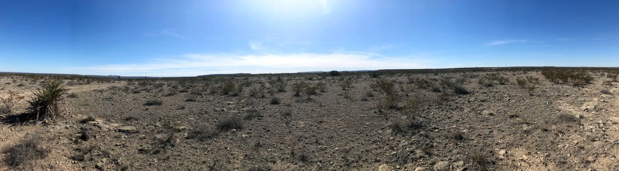
Rolling hills with desert shrubs, mule deer, blue quail, dove and javelina.
3 acres exists on the east side of Hwy 1053.
From elevation to risk assessment
Search for detailed parcel information including; Elevation & Vegetation Maps, Ownership Information, Detailed Parcel Information, Crop History Map, Soil Survey Productivity Data, and more.
Research Parcel InformationDirections
Drive 8 miles north of Fort Stockton on Hwy 1053. Property is on your left.
Environmental Factors
Resources
Land for Sale by Derrick Garnett
Pecos County Properties By Type
- Ranches for Sale in Pecos County, Texas
- Undeveloped Land for Sale in Pecos County, Texas
- Riverfront Property for Sale in Pecos County, Texas
- Hunting Land for Sale in Pecos County, Texas
- Commercial Property for Sale in Pecos County, Texas
- Farms for Sale in Pecos County, Texas
- Recreational Property for Sale in Pecos County, Texas
- Residential Property for Sale in Pecos County, Texas
- Horse Property for Sale in Pecos County, Texas
- Lakefront Property for Sale in Pecos County, Texas
- Beachfront Property for Sale in Pecos County, Texas
- Timberland for Sale in Pecos County, Texas
Properties for Sale Nearby Counties
Pecos County Properties By City
- Coyanosa, Texas Land for Sale
- Fort Stockton, Texas Land for Sale
- Imperial, Texas Land for Sale
- Iraan, Texas Land for Sale
- Sheffield, Texas Land for Sale
- Abell City, Texas Land for Sale
- Bakersfield, Texas Land for Sale
- Baldridge, Texas Land for Sale
- Belding, Texas Land for Sale
- Buena Vista, Texas Land for Sale
- Chancellor, Texas Land for Sale
- Guild, Texas Land for Sale
- More