R000000469 0.50 21036 Calvin Rd Paint Rock, TX 76866
Description
$ 12,000.00
300$ down 300$ per month
Property ID: 4681
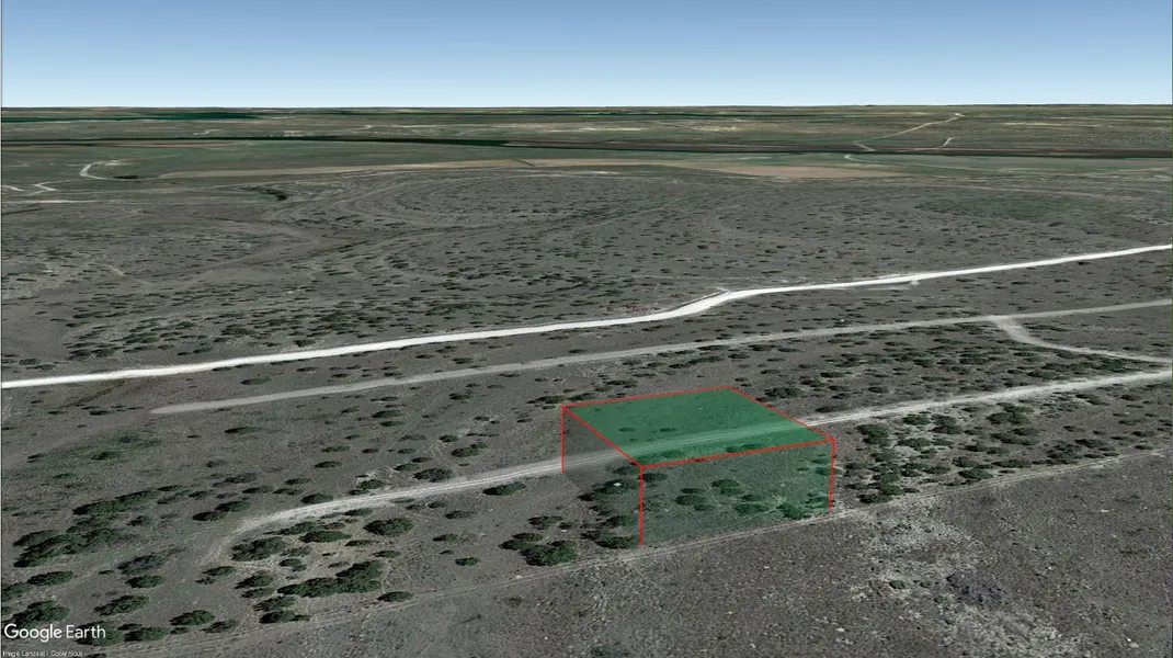
Lot Size: 0.50 acres
Parcel ID: R000000469
Size: 21780
Dimensions: 150' x 148'
County: Concho
State: Texas
In house financing available!
$300 down $300 monthly!
Down is non-refundable
WHY Buy Land from us?
WITH TUNDRA INVESTMENTS, WE MAKE IT EASY AND AFFORDABLE TO OWN LAND.
WE OFFER :
EASY, NO-HASSLE TRANSACTIONS
NO PRE-PAYMENT PENALTY
LOW MONTHLY PAYMENTS
BBB ACCREDITED BUSINESS
Status: Available
GPS (Center) at the road: 31.536515, -99.762319
NW Corner: 31.536740, -99.762558
NE Corner: 31.536736, -99.762085
SW Corner: 31.536324, -99.762560
SE Corner: 31.536331, -99.762086
Legal Description: Tr 22 Ridge Rock Est Alex Castanuela
Road Access: Dirt Road
Power: City Utility available
Water: City Utility available
Sewer: Septic Required
Zoning: No Zoning
RV Living Allowed?: Allowed
Mobile Home Living Allowed?: YES
Manufactured Home Living Allowed?: YES
POA Fees Per Year?: NO POA
Taxes Per Year?: $32.00
Conveyance: Warranty Deed
Type: TEXAS
From elevation to risk assessment
Search for detailed parcel information including; Elevation & Vegetation Maps, Ownership Information, Detailed Parcel Information, Crop History Map, Soil Survey Productivity Data, and more.
Research Parcel InformationDirections
GPS (Center) at the road: 31.536515, -99.762319
NW Corner: 31.536740, -99.762558
NE Corner: 31.536736, -99.762085
SW Corner: 31.536324, -99.762560
SE Corner: 31.536331, -99.762086
Environmental Factors
Resources
Concho County Properties By Type
- Ranches for Sale in Concho County, Texas
- Hunting Land for Sale in Concho County, Texas
- Undeveloped Land for Sale in Concho County, Texas
- Farms for Sale in Concho County, Texas
- Recreational Property for Sale in Concho County, Texas
- Residential Property for Sale in Concho County, Texas
- Lakefront Property for Sale in Concho County, Texas
- Riverfront Property for Sale in Concho County, Texas
- Timberland for Sale in Concho County, Texas
- Horse Property for Sale in Concho County, Texas
- Commercial Property for Sale in Concho County, Texas
- Beachfront Property for Sale in Concho County, Texas