25.54 acres in Ford County, Illinois
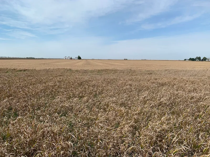
The North Half (N1/2) EXCEPT the North 870.80 feet thereof of the Southwest Quarter (SW1/4) of Section Twenty-five (25), Township Twenty-seven 27 North, Range Nine (9) East of the Third Principal Meridian, AND ALSO EXCEPT the South 271.2 feet of the West 402 feet of said North Half (N1/2) in the County of Ford, State of Illinois. 25.54 acres total, with an estimated 25.05 acres tillable, in Section 25 of Pella Township. The east boundary line is a drainage ditch and there are less than 2 acres of CRP next to the ditch. According to FEMA flood maps dated 2/23/79, no part of the property is in a flood zone. There are no buildings or other improvements and the terrain is nearly level. There are no waterways or ditches. There is one building site to farm around. The property is pattern-tiled and there are no serious drainage issues. The predominant soil type found on the property is Pella.
From elevation to risk assessment
Search for detailed parcel information including; Elevation & Vegetation Maps, Ownership Information, Detailed Parcel Information, Crop History Map, Soil Survey Productivity Data, and more.
Research Parcel InformationMore Land for Sale in Ford County
Ford County Properties By Type
- Farms for Sale in Ford County, Illinois
- Hunting Land for Sale in Ford County, Illinois
- Recreational Property for Sale in Ford County, Illinois
- Lakefront Property for Sale in Ford County, Illinois
- Commercial Property for Sale in Ford County, Illinois
- Residential Property for Sale in Ford County, Illinois
- Undeveloped Land for Sale in Ford County, Illinois
- Ranches for Sale in Ford County, Illinois
- Timberland for Sale in Ford County, Illinois
- Horse Property for Sale in Ford County, Illinois
- Beachfront Property for Sale in Ford County, Illinois
- Riverfront Property for Sale in Ford County, Illinois
Properties for Sale Nearby Counties
Ford County Properties By City
- Cabery, Illinois Land for Sale
- Elliott, Illinois Land for Sale
- Gibson City, Illinois Land for Sale
- Kempton, Illinois Land for Sale
- Melvin, Illinois Land for Sale
- Paxton, Illinois Land for Sale
- Piper City, Illinois Land for Sale
- Roberts, Illinois Land for Sale
- Sibley, Illinois Land for Sale
- Garber, Illinois Land for Sale
- Stelle, Illinois Land for Sale
- Derby, Illinois Land for Sale
- More