2,716 acres in Hall County, Texas
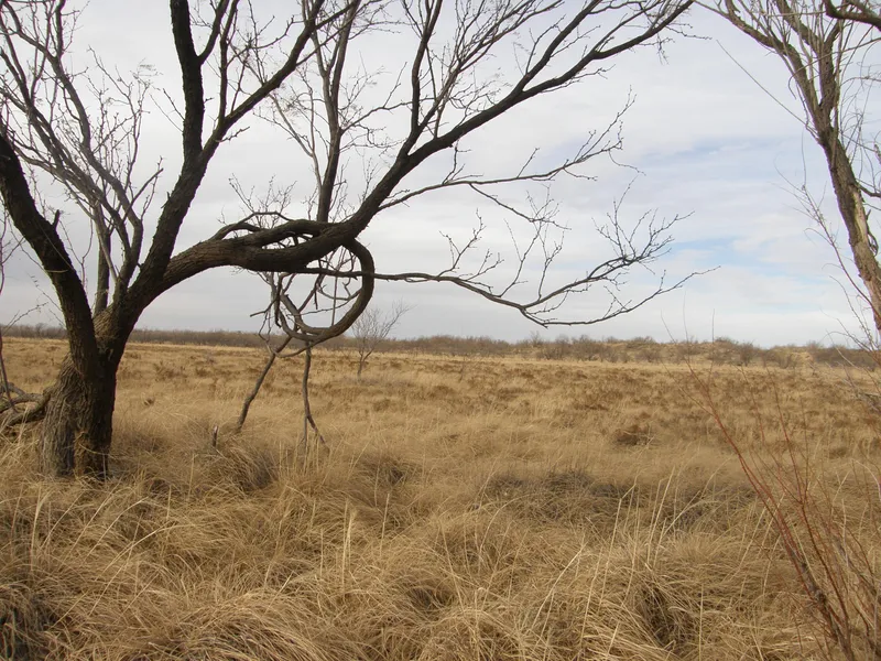
2,716 acres of native grassland situated in the Southeastern Texas Panhandle. The property is very secluded - buffered from neighboring properties by river-beds on its north and south boundaries, and a high fence along its western boundary. Approximately 1,500 acres of additional grassland, accreted from changes in the rivers' courses over the past 40 years, abuts the eastern end of the property. This accreted area is practically accessible only by the owner of the property being offered for sale. It is is fenced & watered, and has been operated as an integral part of the ranch for the past 20 years.
The secluded location of this property makes it one of the most suitable ranches of its size for managed hunting anywhere in the Texas panhandle. With the Prairie Dog Town Fork of the Red River (locally known as the Big Red) on its north side, and the Little Red River on its south side, the property enjoys fairly constant subsurface water table levels regardless of rainfall fluctuations. Grass availability for livestock and wildlife habit is therefore consistent and not affected by variations in weather conditions to the extent of most other Panhandle properties. Native grasses consisting primarily of sand dropseed, alkali sacaton, and various grama grasses provide abundant grazing and wildlife habitat.
Approximately 116 acres, previously in the government CRP program, is currently classified by FSA as cropland and could be planted in specific wildlife attraction crops. Wildlife includes quail, turkey, dove, and deer (mule deer & whitetail). Historically, the ranch has consistently supported approximately 150 cow/calf units annually, with peaks reaching 200. The property is fully developed for livestock production with excellent permanent fencing, water facilities supported by the rural water supply coop, working corrals & handling facilities, and roadways throughout.
From elevation to risk assessment
Search for detailed parcel information including; Elevation & Vegetation Maps, Ownership Information, Detailed Parcel Information, Crop History Map, Soil Survey Productivity Data, and more.
Research Parcel InformationDirections
From Clarendon, TX: Proceed south on State Highway 70 ~18 miles to FM 256; then east on FM 256 ~9 miles to FM 657; then south on FM 657 ~9 miles to the ranch entry road; then east along the unpaved entry road ~1 mile to the ranch entrance gate.
Hall County Properties By Type
- Ranches for Sale in Hall County, Texas
- Farms for Sale in Hall County, Texas
- Hunting Land for Sale in Hall County, Texas
- Undeveloped Land for Sale in Hall County, Texas
- Commercial Property for Sale in Hall County, Texas
- Residential Property for Sale in Hall County, Texas
- Lakefront Property for Sale in Hall County, Texas
- Riverfront Property for Sale in Hall County, Texas
- Horse Property for Sale in Hall County, Texas
- Recreational Property for Sale in Hall County, Texas
- Timberland for Sale in Hall County, Texas
- Beachfront Property for Sale in Hall County, Texas
Properties for Sale Nearby Counties
Hall County Properties By City
- Estelline, Texas Land for Sale
- Lakeview, Texas Land for Sale
- Memphis, Texas Land for Sale
- Turkey, Texas Land for Sale
- Brice, Texas Land for Sale
- Eli, Texas Land for Sale
- Hulver, Texas Land for Sale
- Lesley, Texas Land for Sale
- Newlin, Texas Land for Sale
- Parnell, Texas Land for Sale
- Plains Junction, Texas Land for Sale
- Plaska, Texas Land for Sale
- More