Auction Information
Thurston County Online Land Auction
TRACT #1 - 160+/- ACRES
DESCRIPTION: Very productive center pivot irrigated tract in eastern Thurston County, Nebraska. This farm contains 154.73 +/- acres of certified cropland with Class I - III soils.
LOCATION: Property is located 1 mile east and 1/2 mile north of Macy, Nebraska, and 1/2 mile north from the corner of Highway 75 and 36 Road.
LEGAL: The Northeast Quarter (NE4) of Section 19, Township 25 North, Range 10 East of the 6th PM in Thurston County, Nebraska.
PIVOT INFORMATION: 2008 Reinke 7 tower center pivot, 40 HP electric motor and 10 Western Land Roller Pump
WELL INFORMATION: G-031915; 1250 GPM; Static Level = 20 ft; Pumping Level = 34 ft; 10-inch column diameter
SOILS:
-72.2% Class III Albaton silty clay, 0 to 2% slope
-19.6% Class II Onawa & Haynie soils
-8.2% Class I Haynie silt loam, deep loess, 0 to 2% slope Class I - III soils
2021 REAL ESTATE TAXES: $12,000.00 (Estimated)
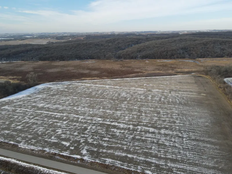
TRACT #2 - 124+/- ACRES
DESCRIPTION: Combination tract that includes 25.8+/- acres of certified cropland, 39.2 +/- acres of Wetland Reserve Program (WRP), and 54.08 +/- acres of timber and recreational hunting ground.
LOCATION: Property is located 1 mile east and 1/2 mile north of Macy, Nebraska, and 1/2 mile north from the corner of Highway 75 and 36 Road.
LEGAL: Northwest Quarter of the Northwest Quarter (NW4NW4) (Lot 1) and West Half of the Northwest Quarter (W2NW4) of Section 19, Township 25 North, Range 10 East of the 6th PM in Thurston County, Nebraska.
SOILS: Class V Onawet silty clay loam, frequent flooded (WRP); Class II Onawa and Haynie soils; Class III Albaton silty clay, 0 to 2% slope
2021 REAL ESTATE TAXES: $6,000.00 (Estimated)
EASEMENT: There is a wetland easement that expires May 10, 2036. Payment was received in a lump sum by Seller. No annual payment. Contact agent for more information.
From elevation to risk assessment
Search for detailed parcel information including; Elevation & Vegetation Maps, Ownership Information, Detailed Parcel Information, Crop History Map, Soil Survey Productivity Data, and more.
Research Parcel InformationDirections
Property is located 1 mile east and 1/2 mile north of Macy, Nebraska, and 1/2 mile north from the corner of Highway 75 and 36 Road.
Environmental Factors
Land for Sale by Connie Kreikemeier
Burt County Properties By Type
- Farms for Sale in Burt County, Nebraska
- Residential Property for Sale in Burt County, Nebraska
- Ranches for Sale in Burt County, Nebraska
- Hunting Land for Sale in Burt County, Nebraska
- Commercial Property for Sale in Burt County, Nebraska
- Recreational Property for Sale in Burt County, Nebraska
- Horse Property for Sale in Burt County, Nebraska
- Riverfront Property for Sale in Burt County, Nebraska
- Timberland for Sale in Burt County, Nebraska
- Undeveloped Land for Sale in Burt County, Nebraska
- Lakefront Property for Sale in Burt County, Nebraska
- Beachfront Property for Sale in Burt County, Nebraska