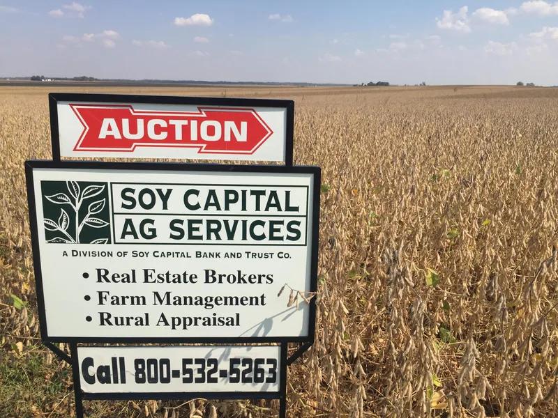
Auction Information
Smart Trust Farm
This highly productive farmland is located between Mt. Pulaski and Elkhart, Illinois on 1039 Ave. The farm will be offered at auction on November 28th as three tracts on the Choice and Privilege auction method. The combined five year average yield history is 208 bushels per acre on corn and 80 bushels per acre on soybeans and consists mainly of Ipava, Sable and Tama soils with a weighted soil PI across the entire farm of 138. Tract sizes are 125.91, 90 & 90+/-. The farm is approximately 98% tillable. This farm is also signed up in the Hilltopper Wind Power Project. No turbines are projected to be on this land. Significant electrical collection line payments could be made if the project is completed. Please contact Keith Waterman at 217-547-2885.
From elevation to risk assessment
Search for detailed parcel information including; Elevation & Vegetation Maps, Ownership Information, Detailed Parcel Information, Crop History Map, Soil Survey Productivity Data, and more.
Research Parcel InformationDirections
From Chicago or St. Louis Take Interstate 55 to Elkhart, Illinois. Proceed through Elkhart onto County Road #10, going east through town and exiting toward Mt. Pulaski proceeding for approximately 3.5 miles after leaving the northeast corner of Elkhart. Turn left on 1039 Ave. and go north 1/2 mile to the farm on the right (east) side of the road.
From Lincoln or Decatur you can take IL Route 121 to Mt. Pulaski and at the north end of town take the County Road #10/ Elkhart Road west to 1039 Ave. and turn right (north) and go 1/2 mile to the farm.
Resources
Land for Sale by David Klein
Logan County Properties By Type
- Farms for Sale in Logan County, Illinois
- Hunting Land for Sale in Logan County, Illinois
- Commercial Property for Sale in Logan County, Illinois
- Undeveloped Land for Sale in Logan County, Illinois
- Recreational Property for Sale in Logan County, Illinois
- Residential Property for Sale in Logan County, Illinois
- Riverfront Property for Sale in Logan County, Illinois
- Ranches for Sale in Logan County, Illinois
- Timberland for Sale in Logan County, Illinois
- Horse Property for Sale in Logan County, Illinois
- Lakefront Property for Sale in Logan County, Illinois
- Beachfront Property for Sale in Logan County, Illinois
Properties for Sale Nearby Counties
Logan County Properties By City
- Atlanta, Illinois Land for Sale
- Beason, Illinois Land for Sale
- Chestnut, Illinois Land for Sale
- Cornland, Illinois Land for Sale
- Elkhart, Illinois Land for Sale
- Emden, Illinois Land for Sale
- Hartsburg, Illinois Land for Sale
- Lake Fork, Illinois Land for Sale
- Latham, Illinois Land for Sale
- Lawndale, Illinois Land for Sale
- Lincoln, Illinois Land for Sale
- Middletown, Illinois Land for Sale
- More
- Mount Pulaski, Illinois Land for Sale
- New Holland, Illinois Land for Sale
- Bakerville, Illinois Land for Sale
- Broadwell, Illinois Land for Sale
- Bell, Illinois Land for Sale
- Burton View, Illinois Land for Sale
- Chestervale, Illinois Land for Sale
- Fogarty, Illinois Land for Sale
- Harness, Illinois Land for Sale
- Lucas, Illinois Land for Sale
- Mount Fulcher, Illinois Land for Sale
- Mountjoy, Illinois Land for Sale
- Narita, Illinois Land for Sale
- Skelton, Illinois Land for Sale