Bushnell CRP
Location: From the Bushnell, Nebraska I-80 interchange, the property is located 4 miles south on County Road 17, then 3 1/2 miles east on County Road 20.
Legal Description: E1/2 Section 35-T14N-R57W of the 6th PM, Kimball County, Nebraska.
Acres: 318.09 tax assessed acres
Taxes: 2016 taxes payable in 2017 - $2,279.32
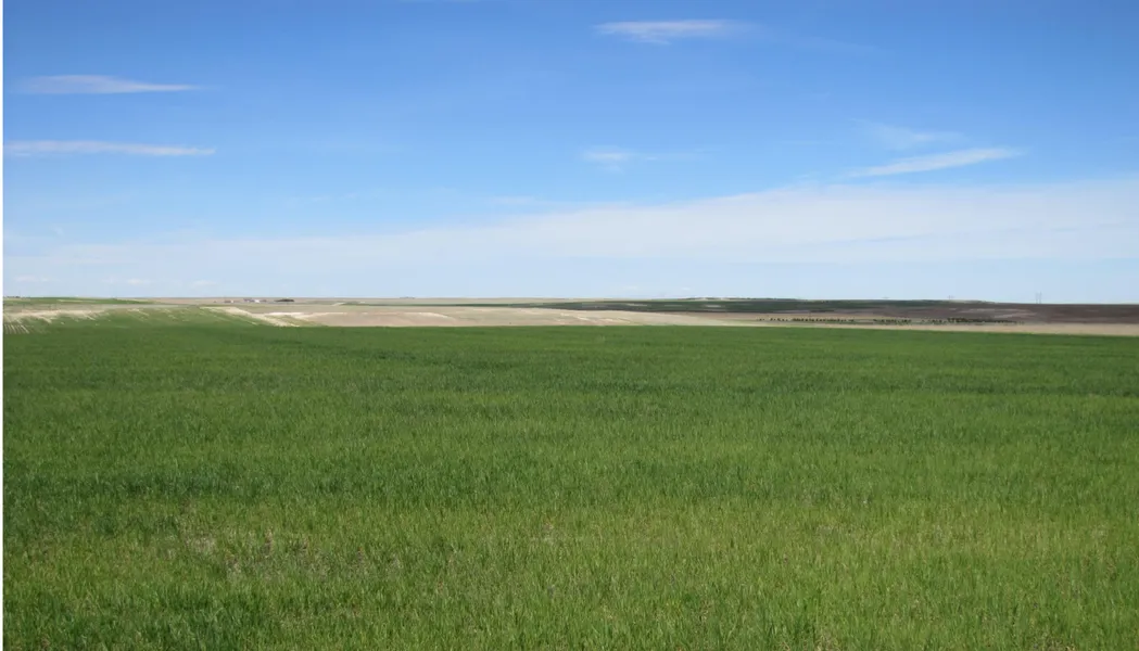
Land Use: 256 acres of dryland enrolled in a new CRP contract; 56 acres in grass; and 6 acres of roads.
Soils: 12.4% Class II; 48.6% Class III; 13% Class IV; and 25.9% Class VI.
Price: $157,650
Comments: CRP Status: 50% of the grass is seeded; 50% seeded to a millet cover crop and to be seeded to grass this fall. Grass seeding is cost shared under the contract. CRP annual payment of $9,806. All owned mineral rights pass with the property.
Contact: Bruce Dodson; Listing Agent 308-539-4455
Mike Polk, Roger Luehrs, Chase Dodson, John Childears, Don Walker, Tony Eggleston, Brian Reynolds
Agri AffiliatesProviding Farm, Ranch Real Estate Services
From elevation to risk assessment
Search for detailed parcel information including; Elevation & Vegetation Maps, Ownership Information, Detailed Parcel Information, Crop History Map, Soil Survey Productivity Data, and more.
Research Parcel InformationResources
Land for Sale by Tony Eggleston
Kimball County Properties By Type
- Farms for Sale in Kimball County, Nebraska
- Commercial Property for Sale in Kimball County, Nebraska
- Ranches for Sale in Kimball County, Nebraska
- Hunting Land for Sale in Kimball County, Nebraska
- Residential Property for Sale in Kimball County, Nebraska
- Recreational Property for Sale in Kimball County, Nebraska
- Horse Property for Sale in Kimball County, Nebraska
- Undeveloped Land for Sale in Kimball County, Nebraska
- Timberland for Sale in Kimball County, Nebraska
- Lakefront Property for Sale in Kimball County, Nebraska
- Beachfront Property for Sale in Kimball County, Nebraska
- Riverfront Property for Sale in Kimball County, Nebraska