Auction Information

320 Acres Cropland, Pasture, Pond
320 ACRES * GRANT COUNTY * OKLAHOMA * CROPLAND * PASTURE * POND
POND CREEK & LAMONT AREAS
KEVIN & KIM BUSHNELL AUCTION
Live w/Online Bidding
THURSDAY JANUARY 26TH, 2023 10AM
AUCTION LOCATION: Grant County Expo Building, 412 6th Street Pond Creek, Oklahoma
TRACT 1
Legal Description: SW/4 of Section (11), Township (26) North, Range (5), W.I.M. Grant County, OK. 160 acres
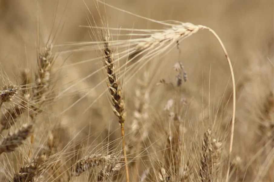
This good Grant County farm consists of approximately 160 acres more or less. According the county Farm Service Agency, there is 155.31 DCP cropland acres 154.70 wheat base and 32- bushel yield. This farm has very good 6 wire perimeter fencing with steel gates, corners and a pond. Principal soils are: Bethany Silt Loam, 0-1% slopes, class II; Kirkland Silt Loam, 1-3% slopes, class II; Tabler Silt Loam, 0-1% slopes, class II; Kirkland-Pawhuska Complex, 0-3% slopes, class II; Pond Creek Silt Loam, 0-1% slopes, class 1
Directions to Farm: From the intersection of Hwy 81 & 60 in Pond Creek, OK. Go east 4.3 miles to MM road (blacktop 960 RD), then go 4 miles north to Grant Rd (CR190), then 1 mile east.
Taxes: $413.00
Possession: will be after the harvest of the existing wheat crop
Minerals: Selling surface rights only
TRACT 2
Legal Description: SE/4 of Section (24), Township (25) North, Range (3), W.I.M. Grant County, OK. 160 acres
This grant county farm consists of approximately 160 acres more or less. This farm is established to improved Bermuda with some native grass pasture. There is a very good perimeter fence with steel corners and gates. According to the county Farm Service Agency, there is a 151.6 wheat base, 37 yield; .50 Soybean base, 9 yield and 3.10 Grain Sorghum base and 36 yield.
Principal soils are: McLain-Drummond Complex, 0-1% slopes, class 1; Lela Clay, 0-1% slopes, class III; and Masham-Ashport Complex, 0-20% slopes, class VI
Directions to Farm: From the intersection of Hwy 74 & 60 (south of Lamont, OK.) go 3 miles south to Cotton Rd, then 6 miles east to CR1100, then 1 mile south, then 1 mile east, this road will dead end in the middle of the property.
Taxes: $232.00
Possession: will be given at closing
Minerals: Selling surface rights only
Pre-Auction Offers: No pre-auction offers will be accepted prior to auction date.
Pre-View Land: can be done during daylight hours, please do not drive on crops.
Internet Bidding: will be available by logging on to to register. Neither the Seller nor the Auction Company is responsible in the event of loss of internet signal be either side.
Terms: 10% of the total purchase price is to be placed in escrow the day of the auction with the balance being due upon delivery of marketable title.
Disclaimer: All information has been taken from sources believed reliable; however, no guarantee is being made by the auction company nor the seller. Bidders should satisfy themselves as to any inspections prior to bidding. Financing must be in order prior to bidding. Any announcements made the day of the auction shall supersede any marketing.
SELLERS: KEVIN & KIM BUSHNELL
From elevation to risk assessment
Search for detailed parcel information including; Elevation & Vegetation Maps, Ownership Information, Detailed Parcel Information, Crop History Map, Soil Survey Productivity Data, and more.
Research Parcel InformationDirections
Tract 1 - Legal Description: SW/4 of Section (11), Township (26) North, Range (5), W.I.M. Grant County, OK. 160 acres
Directions to Farm: From the intersection of Hwy 81 & 60 in Pond Creek, OK. Go east 4.3 miles to MM road (blacktop 960 RD), then go 4 miles north to Grant Rd (CR190), then 1 mile east.
Tract 2 - Legal Description: SE/4 of Section (24), Township (25) North, Range (3), W.I.M. Grant County, OK. 160 acres
Directions to Farm: From the intersection of Hwy 74 & 60 (south of Lamont, OK.) go 3 miles south to Cotton Rd, then 6 miles east to CR1100, then 1 mile south, then 1 mile east, this road will dead end in the middle of the property.
For more info, contact Troy Lippard 580-747-6747
Environmental Factors
Resources
Land for Sale by Lippard Real Estate & Auction
Grant County Properties By Type
- Farms for Sale in Grant County, Oklahoma
- Ranches for Sale in Grant County, Oklahoma
- Hunting Land for Sale in Grant County, Oklahoma
- Commercial Property for Sale in Grant County, Oklahoma
- Riverfront Property for Sale in Grant County, Oklahoma
- Horse Property for Sale in Grant County, Oklahoma
- Lakefront Property for Sale in Grant County, Oklahoma
- Recreational Property for Sale in Grant County, Oklahoma
- Undeveloped Land for Sale in Grant County, Oklahoma
- Residential Property for Sale in Grant County, Oklahoma
- Timberland for Sale in Grant County, Oklahoma
- Beachfront Property for Sale in Grant County, Oklahoma
Properties for Sale Nearby Counties
Grant County Properties By City
- Deer Creek, Oklahoma Land for Sale
- Lamont, Oklahoma Land for Sale
- Manchester, Oklahoma Land for Sale
- Medford, Oklahoma Land for Sale
- Nash, Oklahoma Land for Sale
- Pond Creek, Oklahoma Land for Sale
- Wakita, Oklahoma Land for Sale
- Clyde, Oklahoma Land for Sale
- Gibbon, Oklahoma Land for Sale
- Gilbert, Oklahoma Land for Sale
- Hawley, Oklahoma Land for Sale
- Jefferson, Oklahoma Land for Sale
- More