Auction Information
Duskie Farm Real Estate Auction - Osborne County
Offered at Public Auction - 1PM CT, Wednesday, February 8, 2017 at the Osborne American Legion, 123 W. Main St., Osborne, KS
Legal Description: The West Half (W ) less a portion in Section Thirteen (13), Township Nine (9) South, Range Thirteen (13) West of the 6th P.M., Osborne County, Kansas.
Acres: Estimated legally described acres: 320
(Appraised acres: 317.85 native grass)
Taxes: 2016$434.90
FSA Information: Total Farmland: 318.03 acres
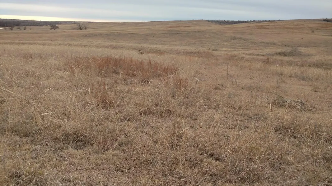
Soils: Excellent hardland range with terrain ranging from nearly level to rolling.
Comments: This is an exceptional pasture with great access, single-phase electricity, submersible well, tank with float, two livestock ponds, an intermittent spring, and 4-wire barbed wire fence.
From elevation to risk assessment
Search for detailed parcel information including; Elevation & Vegetation Maps, Ownership Information, Detailed Parcel Information, Crop History Map, Soil Survey Productivity Data, and more.
Research Parcel InformationDirections
Directions: Travel south from Osborne, Kansas on Highway 281 for 10 miles to Co. 408 Dr., then west 1 mile, south 1 mile, and west mile along Co. 408 Dr. to S. 125th Ave., which is the north-east corner of Parcel 1.
Resources
Land for Sale by Tony Eggleston
Osborne County Properties By Type
- Ranches for Sale in Osborne County, Kansas
- Farms for Sale in Osborne County, Kansas
- Recreational Property for Sale in Osborne County, Kansas
- Residential Property for Sale in Osborne County, Kansas
- Undeveloped Land for Sale in Osborne County, Kansas
- Commercial Property for Sale in Osborne County, Kansas
- Hunting Land for Sale in Osborne County, Kansas
- Horse Property for Sale in Osborne County, Kansas
- Riverfront Property for Sale in Osborne County, Kansas
- Timberland for Sale in Osborne County, Kansas
- Lakefront Property for Sale in Osborne County, Kansas
- Beachfront Property for Sale in Osborne County, Kansas