320 acres in Washington County, Colorado
Description
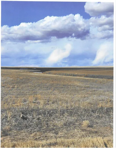
320 Acres more or less, 282.1 Acres in wheat stubble, and 33.19 Acres in CRP. 75% good Nunn clay loam, and Bridgeport silt loam class 3, and 25% Colby Norka loam class 6e. Relatively level to gentle rolling on the East side. Small drainage draw on West side. There is no grain base, and the CRP is in pasture CRP, and expires in 10 years.
From elevation to risk assessment
Search for detailed parcel information including; Elevation & Vegetation Maps, Ownership Information, Detailed Parcel Information, Crop History Map, Soil Survey Productivity Data, and more.
Research Parcel InformationDirections
9 miles North of Lindon, and 4 miles West, along CR 21 and CR N.
Environmental Factors
Listing provided by
Listing last updated: October 27, 2023 at 1:45 PM
Report this listing
Washington County Properties By Type
- Farms for Sale in Washington County, Colorado
- Residential Property for Sale in Washington County, Colorado
- Ranches for Sale in Washington County, Colorado
- Hunting Land for Sale in Washington County, Colorado
- Undeveloped Land for Sale in Washington County, Colorado
- Horse Property for Sale in Washington County, Colorado
- Commercial Property for Sale in Washington County, Colorado
- Recreational Property for Sale in Washington County, Colorado
- Timberland for Sale in Washington County, Colorado
- Lakefront Property for Sale in Washington County, Colorado
- Beachfront Property for Sale in Washington County, Colorado
- Riverfront Property for Sale in Washington County, Colorado
Properties for Sale Nearby Counties
Washington County Properties By City
- Akron, Colorado Land for Sale
- Anton, Colorado Land for Sale
- Cope, Colorado Land for Sale
- Lindon, Colorado Land for Sale
- Otis, Colorado Land for Sale
- Woodrow, Colorado Land for Sale
- Arickaree, Colorado Land for Sale
- Last Chance, Colorado Land for Sale
- Burdett, Colorado Land for Sale
- Calhoun, Colorado Land for Sale
- Elba, Colorado Land for Sale
- Hyde, Colorado Land for Sale
- More