Lyle Yung Dryland
Description
322.28+/- Total Acres; 320.16+/- ac dryland; Legal: N1/2 of 28, T13N, R55W, Kimball County, Nebraska; Location: From Kimball, Nebraska, 11 mi S on Highway 71 to Road 12, 1 mi E on Road 12 to NW corner of the property; Soils primarily consist of Class III with smaller areas of Class VI; 160+/- acres to be planted to wheat in fall of 2017; FSA base: Pending; R/E Taxes: $2,191.62.
LEGAL DESCRIPTION: N1/2 of Section 28, Township 13 North, Range 55 West of the 6th PM, Kimball County, Nebraska.
ACREAGE:
320.16+/- Acres Dryland
1.26+/- Acres Farm Quonset Site
.86+/- Acres Roads & Waste
322.28+/- Acres Total
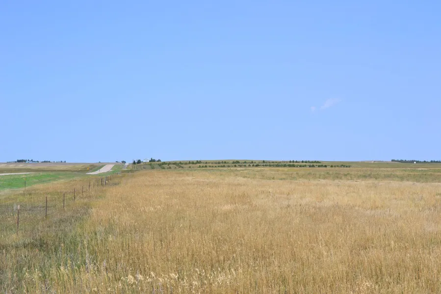
LAND USE: Dryland farming practices in the area consist of raising wheat, millet, corn & sunflowers.
TENURE: Soils consist of Class III (56.7%) and Class VI (43.3%). Terrain is level to rolling with 0 to 9% slopes.
FSA INFORMATION: Pending
IMPROVEMENTS: 900 Square Foot Quonset Building.
TAXES: 2016 due in 2017 real estate taxes: $2,191.62.
MINERAL RIGHTS: Seller to convey 50% of all owned mineral rights to Buyer.
GROWING CROPS: Landowner has a verbal crop share lease in place with tenant. Farm has been in a wheat / fallow rotation. Tenant is planning to drill wheat on approximately 160 acres in the fall of 2017.
POSSESSION: Possession of land (strips) in wheat stubble upon closing. Possession of land (strips) to be planted to wheat in the fall of 2017 to be upon wheat harvest in the summer 2018.
From elevation to risk assessment
Search for detailed parcel information including; Elevation & Vegetation Maps, Ownership Information, Detailed Parcel Information, Crop History Map, Soil Survey Productivity Data, and more.
Research Parcel InformationDirections
LOCATION: From Kimball, NE, south 11 miles on Highway 71 to Rd 12, 1 mi east on Rd 12 to the northwest corner of the property. Road 12 borders property on the north & Road 45 borders property on the east.
Environmental Factors
Resources
Kimball County Properties By Type
- Farms for Sale in Kimball County, Nebraska
- Ranches for Sale in Kimball County, Nebraska
- Hunting Land for Sale in Kimball County, Nebraska
- Commercial Property for Sale in Kimball County, Nebraska
- Recreational Property for Sale in Kimball County, Nebraska
- Horse Property for Sale in Kimball County, Nebraska
- Timberland for Sale in Kimball County, Nebraska
- Undeveloped Land for Sale in Kimball County, Nebraska
- Residential Property for Sale in Kimball County, Nebraska
- Lakefront Property for Sale in Kimball County, Nebraska
- Beachfront Property for Sale in Kimball County, Nebraska
- Riverfront Property for Sale in Kimball County, Nebraska