7123 0.23 350 Sharon Dr Howardwick, TX 79226
Description
$ 5,000.00
SALE! $5000 ends on Sunday
Property ID: 2171
Lot Size: 10018.8 sq ft
Parcel ID: 7123
Size: 0.23
Dimensions: 102' x 103' x 100' x 100'
County: Donley
State: Texas
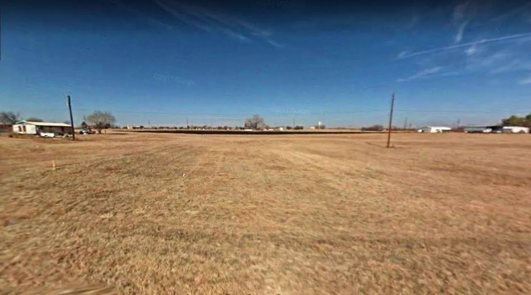
Looking for a weekend get away or a place to build your new home?
Level lots, a couple of trees, not too many neighbors. Great location near Clarendon Golf Course and Lake Greenbelt Near areas for Shopping, Parks, camping, hunting, fishing, and boating.
Power available Greenbelt Electric Cooperative, Inc. serves all and parts of 9 counties in the Texas panhandle-Armstrong, Collingsworth, Donley, Wheeler, parts of Childress, Gray, Hemphill, Randall and Roberts.
806-447-2536
Water Available Red River Water Authority provides water services in the area.
Status: Available
GPS (Center) at the road: 35.0322, -100.9044
NW Corner: 35.0325, -100.9045
NE Corner: 35.0325, -100.9042
SW Corner: 35.0322, -100.9045
SE Corner: 35.0323, -100.9042
Legal Description: LOTS 350-351 ARROWHEAD
Road Access: Paved Road
Power: Power available Greenbelt Electric Cooperative, Inc. serves all and parts of 9 counties in the Texas panhandle-Armstrong, Collingsworth, Donley, Wheeler, parts of Childress, Gray, Hemphill, Randall and Roberts. - 806-447-2536
Water: Water Available Red River Water Authority provides water services in the area.
Sewer: Septic Required
Zoning: Single Family Residential
RV Living Allowed?: Not allowed
Mobile Home Living Allowed?: Allowed
Manufactured Home Living Allowed?: Allowed
Taxes Per Year?: 13
Conveyance: Warranty Deed
Type: Texas
From elevation to risk assessment
Search for detailed parcel information including; Elevation & Vegetation Maps, Ownership Information, Detailed Parcel Information, Crop History Map, Soil Survey Productivity Data, and more.
Research Parcel InformationDirections
GPS (Center) at the road: 35.0322, -100.9044
NW Corner: 35.0325, -100.9045
NE Corner: 35.0325, -100.9042
SW Corner: 35.0322, -100.9045
SE Corner: 35.0323, -100.9042
Environmental Factors
Resources
Donley County Properties By Type
- Ranches for Sale in Donley County, Texas
- Farms for Sale in Donley County, Texas
- Recreational Property for Sale in Donley County, Texas
- Residential Property for Sale in Donley County, Texas
- Hunting Land for Sale in Donley County, Texas
- Undeveloped Land for Sale in Donley County, Texas
- Lakefront Property for Sale in Donley County, Texas
- Commercial Property for Sale in Donley County, Texas
- Horse Property for Sale in Donley County, Texas
- Timberland for Sale in Donley County, Texas
- Riverfront Property for Sale in Donley County, Texas
- Beachfront Property for Sale in Donley County, Texas