40.18 acres in Dawson County, Nebraska
LOCATION: 1 mile east and 3 1/4 miles north of Lexington, Nebraska. (farm located on Road 435)
LEGAL
DESCRIPTION: S1/2 N1/2 SE1/4 Section 16-T10N-R21W of the 6th P.M., Dawson County, Nebraska.
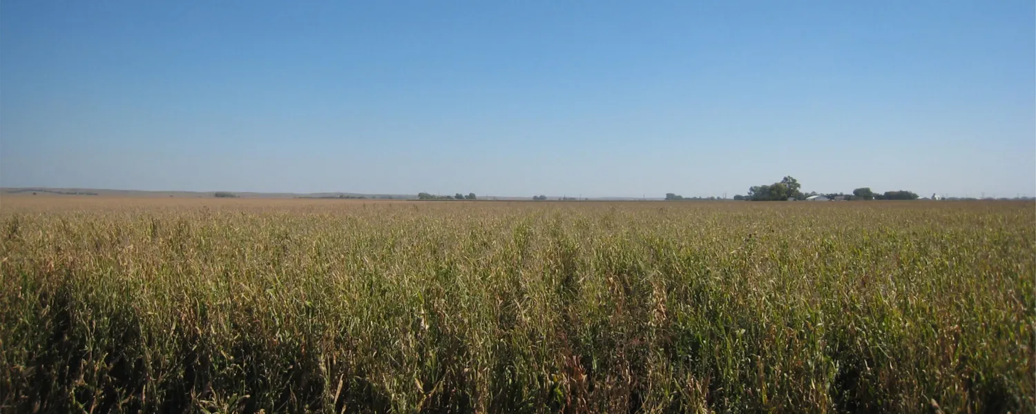
PROPERTY
DESCRIPTION: Dawson County Assessor indicates a total of 40.18 acres. Farm consists entirely of gravity irrigated cropland.
FARM SERVICE AGENCY
INFORMATION: Total Cropland - 40.34 acres
Government Base Acres - Wheat 0.8 acres at 38 bu/acre
Corn 31.6 acres at 121 bu/acre
Soybeans 4.2 acres at 44 bu/acre
All cropland is considered non-highly erodible by the NRCS
IRRIGATION
INFORMATION: Well Registration G001925
Completion Date 1/1/1938 at 1,250 gpm
Well Depth 50
Irrigation well is currently in need of replacement. For additional information, please contact Broker or Downey Drilling in Lexington.
NRD
INFORMATION: Farm is located in the Central Platte Natural Resource District and information from the NRD indicates that all cropland is certified as irrigated.
SOILS: Soils consist of Class I Cozad and Hall silt loams, with slopes of 0-1%.
RE TAX: 2013 Real Estate Tax - $1,936.66
LIST PRICE: $162,000 CASH
LEASE: Farm sells subject to a cash farm lease which terminates February 28, 2016.
COMMENTS: This is a highly productive farm located in a strong farming community.
From elevation to risk assessment
Search for detailed parcel information including; Elevation & Vegetation Maps, Ownership Information, Detailed Parcel Information, Crop History Map, Soil Survey Productivity Data, and more.
Research Parcel InformationResources
Land for Sale by Tony Eggleston
Dawson County Properties By Type
- Farms for Sale in Dawson County, Nebraska
- Ranches for Sale in Dawson County, Nebraska
- Commercial Property for Sale in Dawson County, Nebraska
- Hunting Land for Sale in Dawson County, Nebraska
- Riverfront Property for Sale in Dawson County, Nebraska
- Recreational Property for Sale in Dawson County, Nebraska
- Timberland for Sale in Dawson County, Nebraska
- Residential Property for Sale in Dawson County, Nebraska
- Lakefront Property for Sale in Dawson County, Nebraska
- Undeveloped Land for Sale in Dawson County, Nebraska
- Horse Property for Sale in Dawson County, Nebraska
- Beachfront Property for Sale in Dawson County, Nebraska
Properties for Sale Nearby Counties
Dawson County Properties By City
- Cozad, Nebraska Land for Sale
- Eddyville, Nebraska Land for Sale
- Farnam, Nebraska Land for Sale
- Gothenburg, Nebraska Land for Sale
- Lexington, Nebraska Land for Sale
- Overton, Nebraska Land for Sale
- Sumner, Nebraska Land for Sale
- Willow Island, Nebraska Land for Sale
- Buffalo, Nebraska Land for Sale
- Darr, Nebraska Land for Sale
- Josselyn, Nebraska Land for Sale
- Trued, Nebraska Land for Sale