Auction Information

430 acres in Oklahoma County, Oklahoma
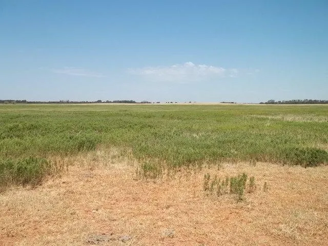
Description
430 ACRES HENNESSEY AREA KINGFISHER COUNTY SMALL GRAIN ~ CATTLE ~ HUNTING LAND
LAND AUCTION AUGUST 28 10:00 AM CDT
AUCTION LOCATION: ON SITE OF TRACT #1
TRACT #1
Directions: From the intersection of Hwy 132 and Hwy 51 (Drummond Rd) go 2 miles West and 3 miles South.
This tract consists of approximately 240 acres MOL.
LEGAL DESCRIPTION: SE/4 & S/2 OF SW/4 33-19N-08W Kingfisher County, OK.
TAXES: 2011 taxes were $536.49. The 2012 taxes will be prorated to the day of closing.
SOIL TYPES: Devol loamy fine sand 0-3% & 3-8%. Class III, IV.
LATITUDE: 36, 4, 30.6726; LONGITUDE: -98, 3, 13.1934
MINERALS: Selling surface rights only, no minerals sell.
TRACT #2
Directions: Directly across the road south of Tract #1.
This tract consists of approximately 190 acres MOL.
LEGAL DESCRIPTION: S/2 OF NW/4 & Lots 3&4 4-18N-08W Kingfisher County, OK.
TAXES: 2011 taxes were $404.01. The 2012 taxes will be prorated to the day of closing.
SOIL TYPES: Devol loamy fine sand 0-3% and 3-8%. Class III, IV.
LATTITUDE: 36, 4, 7.6974; LONGITUDE: -98, 3, 49.0386
MINERALS: Selling surface rights only, no minerals sell.
POSSESSION: Cropland upon signing of the contract, pasture 30 days from sale date or closing whichever is later.
AQUIFER INFORMATION: Basin 64; Middle Cimarron River; Region Name: Central area 3,641 sq miles.; Laying in Ci Cimarron River Major Aquifers
AUCTIONEERS NOTE: The FSA information on the two tracts are together and read as follows, According to the Kingfisher County FSA office there is a total of 433 acres, 401 acres of crop land with 90.5 wheat base 27 bu. yield. This is a great farm with crop production and good grass pasture and habitat for livestock, deer and turkey. There is electricity and water well on both tracts. Do not let this property slip through your hands. To see pictures go to lippard auctioneers. If you have any questions, please call Jerry Whitney at 580-747-6705. Preview on your own during daylight hours.
INTERNET BIDDING: Internet bidding is available by logging onto Lippard Auctioneers. Neither the Auction Company nor sellers are responsible in the event of loss signal.
TERMS/CONDITIONS: 10% down of the total purchase price is to be placed in escrow the day of the auction with the balance being due upon delivery of marketable title. All information is taken from sources believed to be reliable; however, no guarantee is made by the auction company or its employer. Buyers should satisfy themselves as to the condition, acreage, farm service records, etc prior to the day of the auction. Any announcements made the day of auction supersede all advertising.
SELLERS: Kathaleen Connor, Kenneth Jones, Marilyn Curtis, Bobbie Wade
From elevation to risk assessment
Search for detailed parcel information including; Elevation & Vegetation Maps, Ownership Information, Detailed Parcel Information, Crop History Map, Soil Survey Productivity Data, and more.
Research Parcel InformationEnvironmental Factors
Resources
Oklahoma County Properties By Type
- Undeveloped Land for Sale in Oklahoma County, Oklahoma
- Residential Property for Sale in Oklahoma County, Oklahoma
- Farms for Sale in Oklahoma County, Oklahoma
- Ranches for Sale in Oklahoma County, Oklahoma
- Commercial Property for Sale in Oklahoma County, Oklahoma
- Horse Property for Sale in Oklahoma County, Oklahoma
- Timberland for Sale in Oklahoma County, Oklahoma
- Lakefront Property for Sale in Oklahoma County, Oklahoma
- Riverfront Property for Sale in Oklahoma County, Oklahoma
- Recreational Property for Sale in Oklahoma County, Oklahoma
- Hunting Land for Sale in Oklahoma County, Oklahoma
- Beachfront Property for Sale in Oklahoma County, Oklahoma
Properties for Sale Nearby Counties
Oklahoma County Properties By City
- Arcadia, Oklahoma Land for Sale
- Bethany, Oklahoma Land for Sale
- Choctaw, Oklahoma Land for Sale
- Edmond, Oklahoma Land for Sale
- Harrah, Oklahoma Land for Sale
- Jones, Oklahoma Land for Sale
- Luther, Oklahoma Land for Sale
- Nicoma Park, Oklahoma Land for Sale
- Oklahoma City, Oklahoma Land for Sale
- Spencer, Oklahoma Land for Sale
- Wheatland, Oklahoma Land for Sale
- Del City, Oklahoma Land for Sale
- More
- Midwest City, Oklahoma Land for Sale
- Nichols Hills, Oklahoma Land for Sale
- The Village, Oklahoma Land for Sale
- Warr Acres, Oklahoma Land for Sale
- Belmont Farms, Oklahoma Land for Sale
- Britton, Oklahoma Land for Sale
- Dunjee Park, Oklahoma Land for Sale
- Flynn, Oklahoma Land for Sale
- Forest Park, Oklahoma Land for Sale
- Green Pastures, Oklahoma Land for Sale
- Lake Aluma, Oklahoma Land for Sale
- Lake Hiwassee, Oklahoma Land for Sale
- Lillard Park, Oklahoma Land for Sale
- Midway Village, Oklahoma Land for Sale
- Poole, Oklahoma Land for Sale
- Smith Village, Oklahoma Land for Sale
- Valley Brook, Oklahoma Land for Sale
- Waterloo, Oklahoma Land for Sale
- Witcher, Oklahoma Land for Sale
- Woodlawn Park, Oklahoma Land for Sale
- Woods, Oklahoma Land for Sale