480 acres in Trego County, Kansas
Description
LEGAL DESCRIPTIONS:
TRACT 1: NW/4 of 25-13-24
TRACT 2: NW/4 of 17-15-24
TRACT 3: SW/4 of 8-15-24
LOCATION: From I-70 Exit 127 at Wakeeney, Kansas, go 8 miles South to Q Road, and 2 miles West to the NE of Tract 1. From the Trego Center go 7 miles West to Voda Road, then 9 miles South to Tracts 2 & 3. SIGNS WILL BE POSTED!
MINERAL RIGHTS: Mineral rights are believed to be 100% intact. The Seller will retain of the mineral rights for a term of 10 years, or for as long as production, if any, exists. Said reservation will be non-participating in lease monies, delay rentals and bonuses, but fully participating in royalties.
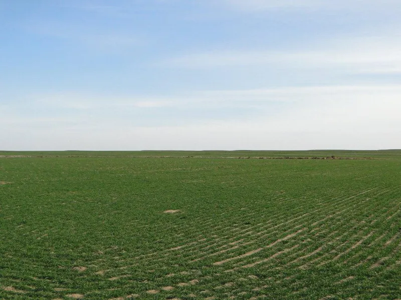
CROPS: Tracts 1 & 3: There are no growing crops. Buyer will reimburse the tenant at closing for the spraying of wheat stubble.
Tract 2: There are approximately 152.2 ac planted to wheat. Buyer will receive the landlords 1/3rd share of the 2014 wheat crop, if any, and Buyer would reimburse the tenant at closing for the landlords 1/3rd share of the applicable cropping expenses, if any.
FSA INFORMATION:
Tracts 1 & 3: Buyer will receive all FSA payments associated with the 2014 crop year, if any.
Tract 2: Buyer will receive the landlords 1/3rd share of all FSA wheat payments, if any, and 100% of all FSA feed grain payments if any, associated with the 2014 crop year.
CRP PAYMENTS: Tracts 2 & 3: All 2014 CRP payments which shall accrue from October 1, 2013, thru September 30, 2014, will be prorated to the date of closing.
POSSESSION: Tracts 1 & 3: Date of closing.
Tract 2: Date of closing on the CRP acres, and after the 2014 wheat harvest on the planted wheat acres.
REAL ESTATE TAXES: Seller will pay taxes for 2012 and prior years. Taxes for 2013 will be prorated to the date of closing. See chart on back for 2013 taxes.
PRICE:
TRACT 1: $480,000
TRACT 2: $400,000
TRACT 3: $384,000
From elevation to risk assessment
Search for detailed parcel information including; Elevation & Vegetation Maps, Ownership Information, Detailed Parcel Information, Crop History Map, Soil Survey Productivity Data, and more.
Research Parcel InformationEnvironmental Factors
Resources
Trego County Properties By Type
- Farms for Sale in Trego County, Kansas
- Hunting Land for Sale in Trego County, Kansas
- Lakefront Property for Sale in Trego County, Kansas
- Residential Property for Sale in Trego County, Kansas
- Commercial Property for Sale in Trego County, Kansas
- Recreational Property for Sale in Trego County, Kansas
- Undeveloped Land for Sale in Trego County, Kansas
- Horse Property for Sale in Trego County, Kansas
- Ranches for Sale in Trego County, Kansas
- Timberland for Sale in Trego County, Kansas
- Riverfront Property for Sale in Trego County, Kansas
- Beachfront Property for Sale in Trego County, Kansas