510 acres in Wallace County, Kansas
LEGAL DESCRIPTIONS:
S/2 OF 21-12-41, SW/4 OF 22-12-41, (less a tract) AND A TRACT IN NW/4 OF 22-12-41
LOCATION: From the intersection of Hwys 27 & 40 at Sharon Springs, KS, go 2½ miles West on Hwy 40 to Road 15, then 4½ miles North to Sandy Road, then 2 miles West to Road 13, then 2 miles North to Upland Road, and 1½ miles West to the SE corner of the property.
MINERAL RIGHTS: All of the Seller’s interest will transfer to the Buyer at closing.
REAL ESTATE TAXES: Seller will pay taxes for all of 2009 and prior years. Taxes for 2010 will be the responsibility of the Buyer. (2009 taxes: $282.80)
POSSESSION: Date of closing.
PRICE: $250,000
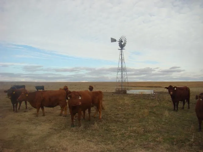
Well #1:
40’ deep, Windmill, 15’ fiberglass tank
Well #2:
80’ deep, 21’ to static, pump set at 42’, will pump 10 GPM, New solar panel with pump, 15’ fiberglass tank.
Well #3:
20’ deep, Windmill, submersible pump with electric cord to connect to generator, 15’ fiberglass tank and 9’ poly tank.
From elevation to risk assessment
Search for detailed parcel information including; Elevation & Vegetation Maps, Ownership Information, Detailed Parcel Information, Crop History Map, Soil Survey Productivity Data, and more.
Research Parcel InformationDirections
LOCATION: From the intersection of Hwys 27 & 40 at Sharon Springs, KS, go 2½ miles West on Hwy 40 to Road 15, then 4½ miles North to Sandy Road, then 2 miles West to Road 13, then 2 miles North to Upland Road, and 1½ miles West to the SE corner of the property.
Resources
Land for Sale by Donald L. Hazlett
Wallace County Properties By Type
- Farms for Sale in Wallace County, Kansas
- Hunting Land for Sale in Wallace County, Kansas
- Commercial Property for Sale in Wallace County, Kansas
- Ranches for Sale in Wallace County, Kansas
- Recreational Property for Sale in Wallace County, Kansas
- Residential Property for Sale in Wallace County, Kansas
- Horse Property for Sale in Wallace County, Kansas
- Undeveloped Land for Sale in Wallace County, Kansas
- Lakefront Property for Sale in Wallace County, Kansas
- Beachfront Property for Sale in Wallace County, Kansas
- Riverfront Property for Sale in Wallace County, Kansas
- Timberland for Sale in Wallace County, Kansas