Auction Information
Cameron Farm
Location
From Lexington, 4 miles east on Hwy 30, then 3/4 mile south on Road 438.
(located on the corner of Road 438 and 753)
Legal Description
W1/2 SW1/4 except an 8.41 acre tract Section 18-T9N-R20W of the 6th P.M., Dawson County, Nebraska.
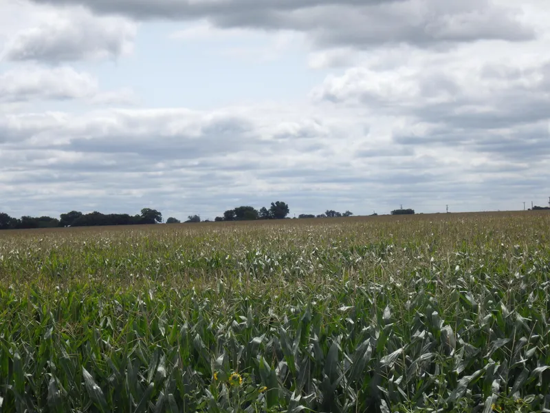
Property Description
Dawson County Assessor indicates a total of 70.47 acres. Farm consists of gravity irrigated cropland.
Farm Service Agency Information
Total Cropland68.34 acres
Government Base Acres:
Wheat7.1 acres with PLC Yield of 38 bu/ac
Corn34.5 acres with PLC Yield of 201 bu/ac
Soybeans16.2 acres with PLC Yield of 55 bu/ac
Irrigation Information
Well Registration: G091202
Completion Date: 03/18/1997 at 800GPM
Well Depth: 164
Static Water Level: 11
Pumping Level: 40
Column: 6
Pump - Western Land Roller
Power Unit - US Motors, 15hp, electric
Control Panel - Allen-Bradley control panel
Farm is located in the Central Platte Natural Resource District and contains 67.4 certified irrigated acres.
Soils
Consist primarily of Class I Cozad silt loam with lesser amounts of Class II and III Cozad silt and sandy loams along with Gosper loam. Slopes range from 0-6%.
2016 Real Estate Tax - $4,120.10
From elevation to risk assessment
Search for detailed parcel information including; Elevation & Vegetation Maps, Ownership Information, Detailed Parcel Information, Crop History Map, Soil Survey Productivity Data, and more.
Research Parcel InformationResources
Land for Sale by Tony Eggleston
Dawson County Properties By Type
- Farms for Sale in Dawson County, Nebraska
- Ranches for Sale in Dawson County, Nebraska
- Commercial Property for Sale in Dawson County, Nebraska
- Hunting Land for Sale in Dawson County, Nebraska
- Recreational Property for Sale in Dawson County, Nebraska
- Riverfront Property for Sale in Dawson County, Nebraska
- Timberland for Sale in Dawson County, Nebraska
- Lakefront Property for Sale in Dawson County, Nebraska
- Residential Property for Sale in Dawson County, Nebraska
- Undeveloped Land for Sale in Dawson County, Nebraska
- Horse Property for Sale in Dawson County, Nebraska
- Beachfront Property for Sale in Dawson County, Nebraska
Properties for Sale Nearby Counties
Dawson County Properties By City
- Cozad, Nebraska Land for Sale
- Eddyville, Nebraska Land for Sale
- Farnam, Nebraska Land for Sale
- Gothenburg, Nebraska Land for Sale
- Lexington, Nebraska Land for Sale
- Overton, Nebraska Land for Sale
- Sumner, Nebraska Land for Sale
- Willow Island, Nebraska Land for Sale
- Buffalo, Nebraska Land for Sale
- Darr, Nebraska Land for Sale
- Josselyn, Nebraska Land for Sale
- Trued, Nebraska Land for Sale