Auction Information

762.06 +/- ACRE LAND AUCTION IN RED WILLOW COUNTY OFFERED IN 2 TRACTS
AgWest Land Brokers is proud to offer 2 tracts of dryland cropland being brought to auction on Tuesday, March 15th, 2022 at 10:00 A.M. at the Red Willow County Fairgrounds in McCook, Nebraska. The auction will consist of 762.06 +/- acres (per assessor). Productive soils and great access will make these properties a great addition to any operation!
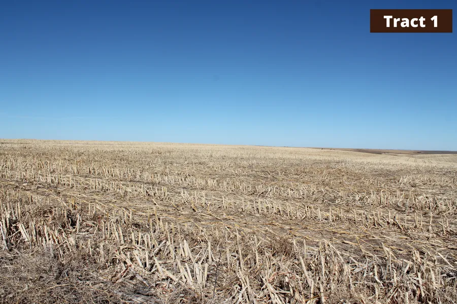
Tract 1
Legal Description: The West Half of the Northeast Quarter, the East Half of the Northwest Quarter, and the Southwest Quarter of Section Thirteen (13), Township Two (2) North, Range Twenty-seven (27) West of the 6th P.M.
Property Taxes: $3,970.30
FSA Information:
Total cropland acres: 317.46
Corn: 91.67 base acres 84 PLC Yield
Wheat: 10.87 base acres 39 PLC Yield
Soybeans: 2.99 base acres 39 PLC Yield
Grain Sorghum: 3.11 base acres 57 PLC Yield
Total base acres: 108.64
Driving Directions: From Lebanon travel north on Bartley Road/403 Road approximately 5 miles to 710 Road. Travel west on 710 Road for 1 mile to Road 402 then head north on Road 402 for another mile. The road will turn into 711 Road and you will go west for 0.5 miles. There will be a driveway into the farm and signs posted.
Tract 2
Legal Description: The East 1/2 Northeast West 1/2 Northwest Southwest 1/4 & West 1/2 Southeast of Section Four (4), Township One (1) North, Range Twenty-seven (27) West of the 6th P.M.
Property Taxes: $5,379.52
FSA Information:
Total cropland acres: 422.55
Corn: 96.83 base acres 84 PLC Yield
Wheat: 1.19 base acres 39 PLC Yield
Grain Sorghum: 6.37 base acres 57 PLC Yield
Total base acres: 104.39
Driving Directions: From Danbury travel east on Highway 89 for 1 mile to 398 Road. Head north on 398 Road for approximately 1.5 miles. The property will be on the northeast corner of Road 707 and 398 Road.
From elevation to risk assessment
Search for detailed parcel information including; Elevation & Vegetation Maps, Ownership Information, Detailed Parcel Information, Crop History Map, Soil Survey Productivity Data, and more.
Research Parcel InformationEnvironmental Factors
Resources
Land for Sale by Jeff Moon
Red Willow County Properties By Type
- Farms for Sale in Red Willow County, Nebraska
- Commercial Property for Sale in Red Willow County, Nebraska
- Ranches for Sale in Red Willow County, Nebraska
- Residential Property for Sale in Red Willow County, Nebraska
- Horse Property for Sale in Red Willow County, Nebraska
- Lakefront Property for Sale in Red Willow County, Nebraska
- Hunting Land for Sale in Red Willow County, Nebraska
- Recreational Property for Sale in Red Willow County, Nebraska
- Undeveloped Land for Sale in Red Willow County, Nebraska
- Riverfront Property for Sale in Red Willow County, Nebraska
- Timberland for Sale in Red Willow County, Nebraska
- Beachfront Property for Sale in Red Willow County, Nebraska