Auction Information
Pierce County Sealed Bid Sale
4200 James Ray Drive, Grand Forks, ND
Start Date: 03/24/2022, 01:00 PM
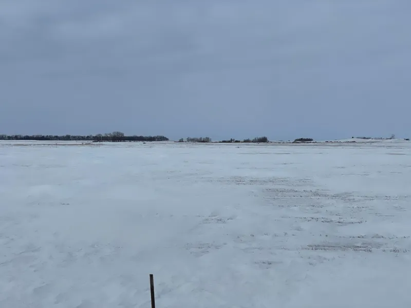
80 acres in Pierce County, North Dakota
Combination of CRP and hayland located in northeast Pierce County, North Dakota.
From elevation to risk assessment
Search for detailed parcel information including; Elevation & Vegetation Maps, Ownership Information, Detailed Parcel Information, Crop History Map, Soil Survey Productivity Data, and more.
Research Parcel InformationDirections
From the intersection of North Dakota Highway 17 and 3rd Ave NW on the north side of Wolford, 7.7 miles east on Highway 17 and one-half mile north 52nd Avenue NE will place you at the southeast corner of the property. Or from intersection of North Dakota Highway 17 and U.S. Highway 81 in Cando, 15.2 miles west on 17 and one-half mile north 52nd Avenue NE will place you at the southeast corner of the property.
Resources
Attachments
Contact Seller
Listing provided by
Jayson Menke
Acres & Shares(218) 450-4627
Listing last updated: March 17, 2022 at 11:14 AM
Report this listing
Land for Sale by Jayson Menke
Pierce County Properties By Type
- Undeveloped Land for Sale in Pierce County, North Dakota
- Hunting Land for Sale in Pierce County, North Dakota
- Farms for Sale in Pierce County, North Dakota
- Lakefront Property for Sale in Pierce County, North Dakota
- Ranches for Sale in Pierce County, North Dakota
- Residential Property for Sale in Pierce County, North Dakota
- Recreational Property for Sale in Pierce County, North Dakota
- Timberland for Sale in Pierce County, North Dakota
- Horse Property for Sale in Pierce County, North Dakota
- Commercial Property for Sale in Pierce County, North Dakota
- Beachfront Property for Sale in Pierce County, North Dakota
- Riverfront Property for Sale in Pierce County, North Dakota
Properties for Sale Nearby Counties
Pierce County Properties By City
- Balta, North Dakota Land for Sale
- Rugby, North Dakota Land for Sale
- Wolford, North Dakota Land for Sale
- Aylmer, North Dakota Land for Sale
- Clifton, North Dakota Land for Sale
- Orrin, North Dakota Land for Sale
- Pleasant Lake, North Dakota Land for Sale
- Silva, North Dakota Land for Sale
- Leverich, North Dakota Land for Sale
- Tunbridge, North Dakota Land for Sale