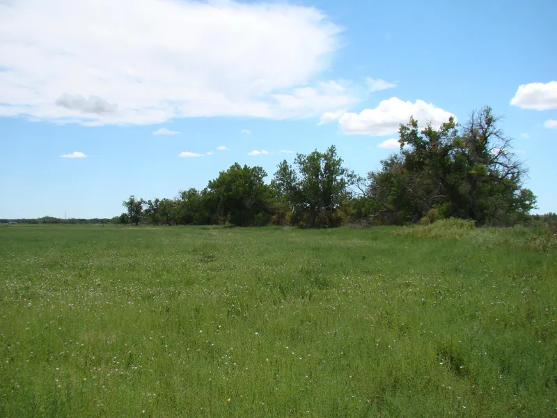
87 acres in Prowers County, Colorado
LEGAL DESCRIPTION:
Tract in W/2 of 25-22-46
LOCATION: From the intersection of Hwys 287 and 196 North of Lamar, Colorado, go 4 miles East on Hwy 196 to the NW corner of the property. Signs will be posted!
CROPS: There are no growing crops.
FSA INFORMATION:
50.09 Cropland Acres
36.91+ River bottom & Grass Acres
Base Acres Direct Yield
Wheat 7.10 41
Grain Sorghum 5.20 45
ADDITIONAL INFORMATION: This property has Arkansas River frontage-great for deer and water fowl hunting. Land can be irrigated with the purchase of water shares. The land is subject to a Conservation Easement of record.
POSSESSION: Date of closing.
MINERAL RIGHTS: All of the Sellers interest will transfer to the Buyer at closing.
REAL ESTATE TAXES: Taxes for 2014 will be the responsibility of the Buyer. (2013 taxes = $292.48)
PRICE REDUCED: $80,000
From elevation to risk assessment
Search for detailed parcel information including; Elevation & Vegetation Maps, Ownership Information, Detailed Parcel Information, Crop History Map, Soil Survey Productivity Data, and more.
Research Parcel InformationResources
Land for Sale by Donald L. Hazlett
Prowers County Properties By Type
- Ranches for Sale in Prowers County, Colorado
- Hunting Land for Sale in Prowers County, Colorado
- Farms for Sale in Prowers County, Colorado
- Undeveloped Land for Sale in Prowers County, Colorado
- Residential Property for Sale in Prowers County, Colorado
- Horse Property for Sale in Prowers County, Colorado
- Recreational Property for Sale in Prowers County, Colorado
- Riverfront Property for Sale in Prowers County, Colorado
- Commercial Property for Sale in Prowers County, Colorado
- Timberland for Sale in Prowers County, Colorado
- Lakefront Property for Sale in Prowers County, Colorado
- Beachfront Property for Sale in Prowers County, Colorado
Properties for Sale Nearby Counties
Prowers County Properties By City
- Granada, Colorado Land for Sale
- Hartman, Colorado Land for Sale
- Holly, Colorado Land for Sale
- Lamar, Colorado Land for Sale
- Wiley, Colorado Land for Sale
- Bristol, Colorado Land for Sale
- Carlton, Colorado Land for Sale
- Koen, Colorado Land for Sale
- Kornman, Colorado Land for Sale
- May Valley, Colorado Land for Sale
- Prowers, Colorado Land for Sale
- West Farm, Colorado Land for Sale
- More