Auction Information
Duskie farm Real Estate Auction - Jewell County
Offered at Public Auction 10AM CT, Thursday, February 9, 2017
at the former Armory Building, 217 S. High St., Mankato, KS
Directions: Travel west from Mankato, Kansas on Highway 36 for 4 miles to 120th Road, then south 1 mile to the northwest corner of Parcel 4. From the intersection of Highway 128 and Road G near Ionia, travel east on Road G for 2 miles to Road 112, then head north 2 miles to the northwest corner of Parcel 7.
Parcels 2-4
Legal Description: The Southeast Quarter (SE ) of Section Twenty-Five (25), Township Three (3) South, Range Nine (9)West of the 6th P.M., Jewell County, Kansas; [Parcel 2160 acres]
The Southwest Quarter (SW ) of Section Twenty-Five (25), Township Three (3) South, Range Nine (9) West of the 6th P.M., Jewell County, Kansas;
[Parcel 3160 acres]
The West Half of the Northwest Quarter (W NW ) of Section Twenty-Five (25), Township Three (3) South, Range Nine (9) West of the 6th P.M., Jewell County,
Kansas; [Parcel 480 acres]
Combination A: Parcels 3 & 4
Acres: Estimated legally described acres: 400
(Appraised acres: 211.52 non-irrigated cropland; 180.13 native grass)
Taxes: 2016$4,273.82
FSA Information: Total Farmland: 395.68 acres Government Base Acres: Wheat126.9
Total Cropland: 238.03 acres Oats17.9
Improvements: All on Parcel 4: 40 x 80 machine shed with 20 wide x 16 high door; submersible well south of machine shed. Seller plans to retain and remove steel corral with hedge posts south of machine shed.
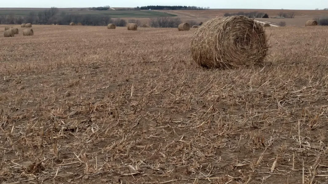
Comments: All three parcels contain very productive non-irrigated cropland. The grassland has development potential or could remain as quality, hardland range, with 4-wire barbed wire fence.
Parcels 5 & 6
Legal Description: The Northwest Quarter (NW ) of Section Thirty-Six (36), Township Three (3) South, Range Nine (9) West of the 6th P.M., Jewell County, Kansas; [Parcel 5160 acres]
The Southwest Quarter (SW ) of Section Thirty-Six (36), Township Three (3) South, Range Nine (9) West of the 6th P.M., Jewell County, Kansas less acreage in southwest corner; [Parcel 6130 acres]
Combination B: Parcels 5 & 6
Acres: Estimated legally described acres: 290
(Appraised acres: 146.15 non-irrigated cropland; 142.52 native grass)
Taxes: 2016$2,725.46
FSA Information: Total Farmland: 293.96 acres Government Base Acres: Wheat44.9
Comments: This is a high-quality, non-irrigated farm with productive cropland acres. 4-wire barbed wire fence around grassland. Many of the grassland acres have potential for development into non- irrigated cropland. The southern portion of Parcel 6 contains exceptional recreational
opportunities and wildlife habitat.
Parcel 7
Legal Description: The North 50 acres of the West Half of the Northwest Quarter (W NW ) less ROW in
Section Twenty-Five (25), Township Four (4) South, Range Nine (9) West; and the North 100 acres of the Northeast Quarter (NE ), and the North 50 acres of the East Half of the Northwest Quarter (E NW ) in Section Twenty-Six (26), Township Four (4) South, Range Nine (9) West of the 6th P.M., Jewell County, Kansas.
Acres: Estimated legally described acres: 200
(Appraised acres: 123.05 non-irrigated cropland; 71.95 native grass)
Taxes: 2016$1,761.22
FSA Information: Total Farmland: 196.34 acres Government Base Acres: Wheat49
Comments: This is an exceptional combination tract with productive, bottomland farm ground to the west, and good hardland range to the east with 4-wire barbed wire fence. This tract provides
exceptional recreational opportunities with its terrain and tree cover through the Ash Creek
bottom and tributaries, which bisect the property in two directions. Note that Seller plans to remove continuous steel panes and crowding tub in farm yard.
From elevation to risk assessment
Search for detailed parcel information including; Elevation & Vegetation Maps, Ownership Information, Detailed Parcel Information, Crop History Map, Soil Survey Productivity Data, and more.
Research Parcel InformationDirections
Directions: Travel west from Mankato, Kansas on Highway 36 for 4 miles to 120th Road, then south 1 mile to the northwest corner of Parcel 4. From the intersection of Highway 128 and Road G near Ionia, travel east on Road G for 2 miles to Road 112, then head north 2 miles to the northwest corner of Parcel 7.
Resources
Land for Sale by Tony Eggleston
Jewell County Properties By Type
- Farms for Sale in Jewell County, Kansas
- Ranches for Sale in Jewell County, Kansas
- Recreational Property for Sale in Jewell County, Kansas
- Lakefront Property for Sale in Jewell County, Kansas
- Hunting Land for Sale in Jewell County, Kansas
- Residential Property for Sale in Jewell County, Kansas
- Undeveloped Land for Sale in Jewell County, Kansas
- Horse Property for Sale in Jewell County, Kansas
- Commercial Property for Sale in Jewell County, Kansas
- Timberland for Sale in Jewell County, Kansas
- Beachfront Property for Sale in Jewell County, Kansas
- Riverfront Property for Sale in Jewell County, Kansas
Properties for Sale Nearby Counties
Jewell County Properties By City
- Burr Oak, Kansas Land for Sale
- Esbon, Kansas Land for Sale
- Formoso, Kansas Land for Sale
- Jewell, Kansas Land for Sale
- Mankato, Kansas Land for Sale
- Randall, Kansas Land for Sale
- Webber, Kansas Land for Sale
- Ionia, Kansas Land for Sale
- Dentonia, Kansas Land for Sale
- Dispatch, Kansas Land for Sale
- Lovewell, Kansas Land for Sale
- Montrose, Kansas Land for Sale
- More