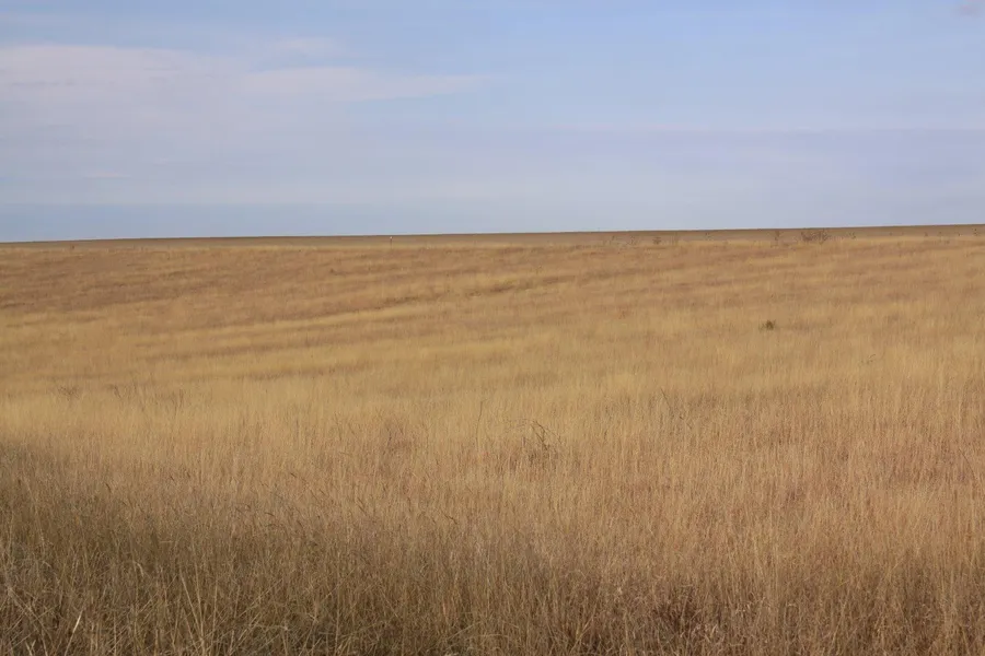
90 acres in Yuma County, Colorado
LEGAL DESCRIPTION:
NORTH 90 ACRES IN
SW/4 OF 12-3-43
LOCATION: From Idalia, Colorado on Hwy 36, go 2 miles East, 3 miles North, then 5 miles East to Road LL, 4 miles North to Road 16, 1 mile East and mile North to the SW corner of the property. SIGNS WILL BE POSTED!
MINERAL RIGHTS: Mineral rights are subject to a prior reservation of record. Seller will convey surface rights only to the Buyer.
CRP INFORMATION: CRP ACRES: 96.7
There are 96.73 acres currently enrolled in the CRP program through 9/30/2016 at $40.16 per acre for a total annual payment of $3,883.
Buyer will receive 100% of the 2014 CRP payment which will accrue from October 1, 2013, through September 30, 2014.
POSSESSION: Date of closing.
REAL ESTATE TAXES: Seller will pay taxes for all of 2013 and prior years. Taxes for 2014 will be the responsibility of the Buyer. (2013 taxes = $208.82)
PRICE: $125,000
From elevation to risk assessment
Search for detailed parcel information including; Elevation & Vegetation Maps, Ownership Information, Detailed Parcel Information, Crop History Map, Soil Survey Productivity Data, and more.
Research Parcel InformationResources
Land for Sale by Donald L. Hazlett
Yuma County Properties By Type
- Farms for Sale in Yuma County, Colorado
- Hunting Land for Sale in Yuma County, Colorado
- Undeveloped Land for Sale in Yuma County, Colorado
- Recreational Property for Sale in Yuma County, Colorado
- Ranches for Sale in Yuma County, Colorado
- Lakefront Property for Sale in Yuma County, Colorado
- Horse Property for Sale in Yuma County, Colorado
- Commercial Property for Sale in Yuma County, Colorado
- Residential Property for Sale in Yuma County, Colorado
- Timberland for Sale in Yuma County, Colorado
- Beachfront Property for Sale in Yuma County, Colorado
- Riverfront Property for Sale in Yuma County, Colorado
Properties for Sale Nearby Counties
Yuma County Properties By City
- Eckley, Colorado Land for Sale
- Idalia, Colorado Land for Sale
- Joes, Colorado Land for Sale
- Kirk, Colorado Land for Sale
- Vernon, Colorado Land for Sale
- Wray, Colorado Land for Sale
- Yuma, Colorado Land for Sale
- Hale, Colorado Land for Sale
- Laird, Colorado Land for Sale
- Abarr, Colorado Land for Sale
- Alvin, Colorado Land for Sale
- Armel, Colorado Land for Sale
- More