Huge 39.55-acre Property in La Jara, Colorado! Priced to sell fast!
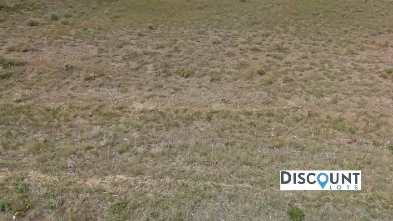
Own this vast 39.55-acre property situated in Conejos County, Colorado! Nestled in the sprawling city of La Jara, this property is flat, huge and you can do anything whatever you want to enjoy here. This parcel also puts you in close proximity to an abundance of recreation offered by the nearby mountain ranges that include; the San Juan Mountain Range and offers beautiful views of Chiquito Peak, Rio Grande National Forest, and Green Ridge Mountain. You can use the property recreationally or for camping, put a mobile home, tiny home, shipping container home or alternative type of dwelling on the property.
There is so much more to do in Conejos County, Colorado; Sugarite Canyon is the former site of an early 1900's coal mine. The park offers two campgrounds, hiking trails, two lakes, fishing access, and an interpretive trail about the park's mining past. et among rolling grasslands, Clayton Lake State Park offers outstanding fishing. Four state-record walleyes have been caught since 1980. Along the spillway, more than 500 dinosaur footprints are preserved. Interpretive markers identify significant tracks and paleontological features on the walk. Whether youre living or visiting Colorado, you can do so much more here. Grab this vast offer now!
Call us now to learn more about this gorgeous offer!
Cash Price: $26,099
Terms:
Option 1: $1 down and $841 a month for 36 months
Parcel Number: 556117400069
County: Conejos
State: Colorado
Parcel Size: 39.55 acres
Legal Description: NW1/4 SE1/4 17-36-8 TNA 39.55 M/L
City: La Jara
Zip Code: 81140
GPS Center Coordinates: 37.362784, -106.119191
GPS Coordinates (4 Corners):
37.364500, -106.121505
37.364462, -106.116966
37.360901, -106.116986
37.360902, -106.121504
Elevation: 7854 ft.
Access to Property (Dirt or Paved): Dirt
Zoning: Contact the County
Terrain: Flat
Time limit: None
Tax Amount: $129.64
HOA: None
Water: Contact the county
Sewer: Would need to install septic
Power: In the area
Doc Fee: $300
From elevation to risk assessment
Search for detailed parcel information including; Elevation & Vegetation Maps, Ownership Information, Detailed Parcel Information, Crop History Map, Soil Survey Productivity Data, and more.
Research Parcel InformationEnvironmental Factors
Resources
Land for Sale by Discount Lots
Conejos County Properties By Type
- Undeveloped Land for Sale in Conejos County, Colorado
- Riverfront Property for Sale in Conejos County, Colorado
- Lakefront Property for Sale in Conejos County, Colorado
- Residential Property for Sale in Conejos County, Colorado
- Ranches for Sale in Conejos County, Colorado
- Recreational Property for Sale in Conejos County, Colorado
- Farms for Sale in Conejos County, Colorado
- Commercial Property for Sale in Conejos County, Colorado
- Hunting Land for Sale in Conejos County, Colorado
- Horse Property for Sale in Conejos County, Colorado
- Timberland for Sale in Conejos County, Colorado
- Beachfront Property for Sale in Conejos County, Colorado
Properties for Sale Nearby Counties
Conejos County Properties By City
- Antonito, Colorado Land for Sale
- Capulin, Colorado Land for Sale
- Conejos, Colorado Land for Sale
- La Jara, Colorado Land for Sale
- Manassa, Colorado Land for Sale
- Romeo, Colorado Land for Sale
- Sanford, Colorado Land for Sale
- Bountiful, Colorado Land for Sale
- Florida, Colorado Land for Sale
- Fox Creek, Colorado Land for Sale
- Las Mesitas, Colorado Land for Sale
- Lasauses, Colorado Land for Sale
- More
- Lobatos, Colorado Land for Sale
- Mogote, Colorado Land for Sale
- Morgan, Colorado Land for Sale
- Ortiz, Colorado Land for Sale
- Paisaje, Colorado Land for Sale
- Richfield, Colorado Land for Sale
- San Acacio, Colorado Land for Sale
- San Antonio, Colorado Land for Sale
- Cañon, Colorado Land for Sale
- Centro, Colorado Land for Sale
- Cumbres, Colorado Land for Sale
- Espinosa, Colorado Land for Sale
- Guadalupe, Colorado Land for Sale
- Los Cerritos, Colorado Land for Sale
- Osier, Colorado Land for Sale
- Platoro, Colorado Land for Sale