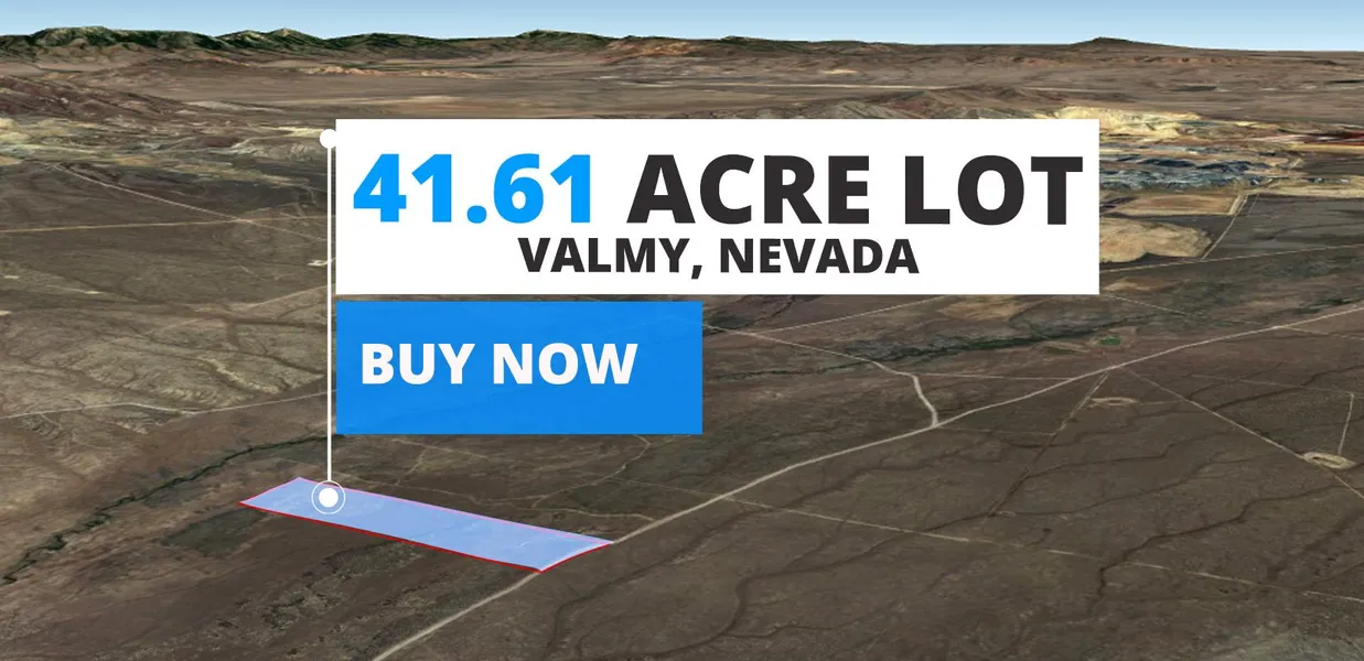
41.61-acre property in Valmy, Humboldt County, NV!
Are you looking for a slice of paradise in the heart of Nevada? Valmy, Humboldt County, NV has everything you need from a rich and diverse history to a vibrant community that prides itself on inclusivity and warmth. The people are friendly and welcoming, and the surroundings are steeped in natural beauty and rugged charm. Whether youre looking to build your dream home or invest in the future, this 41.61-acre property is the perfect opportunity for you. So why wait? Make your move today and start living the life youve always wanted!
This property is zoned as M-3 Open Land Use District. You can use this property for:
Agricultural activities: This zoning allows for various agricultural uses, providing opportunities for farming or ranching enterprises.
Public and quasi-public uses: The M-3 Open Land Use District permits the establishment of public facilities, such as parks, schools, and utility installations.
Resource production: The zoning enables the extraction and production of natural resources, supporting industries like mining or forestry.
On Property Usage / Potential:
Residential
Agriculture
Ready to take the next step?
Call our mainline at 866-471-7317 and let the Discount Lots team help you make your dreams a reality.
DISCLAIMER: We always encourage buyers to perform their due diligence before committing to the property.
Cash Price: $38,999
Terms:
Option 1: $1 down and $519 a month for 120 months
Option 2: $1 down and $569 a month for 102 months
Option 3: $1 down and $649 a month for 84 months
Parcel Number: 07-0251-03
County: Humbodlt
State: Nevada
Parcel Size: 41.61 acre
Legal Description: LOT 3 OF DLP FOR KH INVESTORS LLC WITHIN RECORDED 09/13/06, DOC #2006-6094. CREATED FROM SPLIT OF PARCEL # 007-131-16 PRIMARY NEW PARCEL IS PARCEL # 007-251-01
City: Valmy
Zip Code: 89438
GPS Center Coordinates: 41.177669, -117.157483
The corners of the lot are at GPS Coordinates:
41.17861,-117.163246
41.178246,-117.152238
41.177576,-117.15256
41.177204,-117.152678
41.176865,-117.152764
41.176567,-117.152817
41.17689,-117.163278
Elevation: 4652 ft.
Access to Property (Dirt or Paved): Dirt
Zoning: M-3 Open Land Use District
Terrain: Flat
Time limit: None
Tax Amount: $65.76
HOA: None
Water: Contact the county
Sewer: Contact the county
Power: Alternative system
Doc Fee: $300
From elevation to risk assessment
Search for detailed parcel information including; Elevation & Vegetation Maps, Ownership Information, Detailed Parcel Information, Crop History Map, Soil Survey Productivity Data, and more.
Research Parcel InformationResources
Land for Sale by Matthew Perdomo
Humboldt County Properties By Type
- Undeveloped Land for Sale in Humboldt County, Nevada
- Residential Property for Sale in Humboldt County, Nevada
- Ranches for Sale in Humboldt County, Nevada
- Hunting Land for Sale in Humboldt County, Nevada
- Recreational Property for Sale in Humboldt County, Nevada
- Commercial Property for Sale in Humboldt County, Nevada
- Farms for Sale in Humboldt County, Nevada
- Riverfront Property for Sale in Humboldt County, Nevada
- Horse Property for Sale in Humboldt County, Nevada
- Lakefront Property for Sale in Humboldt County, Nevada
- Beachfront Property for Sale in Humboldt County, Nevada
- Timberland for Sale in Humboldt County, Nevada
Properties for Sale Nearby Counties
Humboldt County Properties By City
- Denio, Nevada Land for Sale
- Golconda, Nevada Land for Sale
- Orovada, Nevada Land for Sale
- Paradise Valley, Nevada Land for Sale
- Valmy, Nevada Land for Sale
- Winnemucca, Nevada Land for Sale
- Midas, Nevada Land for Sale
- Paradise Hill, Nevada Land for Sale
- Red House, Nevada Land for Sale
- Sulphur, Nevada Land for Sale
- Weso, Nevada Land for Sale
- Awakening, Nevada Land for Sale
- More
- Bliss, Nevada Land for Sale
- Chinatown, Nevada Land for Sale
- Comus, Nevada Land for Sale
- Cordero, Nevada Land for Sale
- Daveytown, Nevada Land for Sale
- Denio Junction, Nevada Land for Sale
- Dyke, Nevada Land for Sale
- Ellison, Nevada Land for Sale
- Getchell, Nevada Land for Sale
- Gouge Eye, Nevada Land for Sale
- Happy Creek Station, Nevada Land for Sale
- Herrin, Nevada Land for Sale
- Knight, Nevada Land for Sale
- McDermitt, Nevada Land for Sale
- Platora, Nevada Land for Sale
- Preble, Nevada Land for Sale
- Pronto, Nevada Land for Sale
- Quinn River Crossing, Nevada Land for Sale
- Raglan, Nevada Land for Sale
- Rose Creek, Nevada Land for Sale
- Tule, Nevada Land for Sale