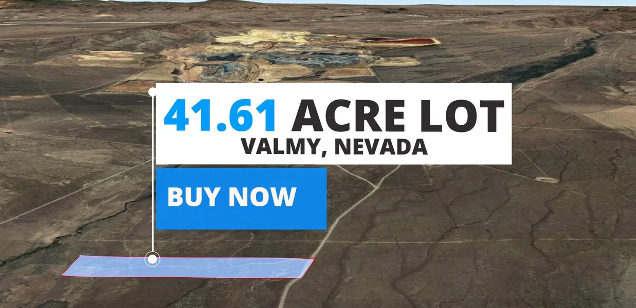
Discover 41.61 Acres in Valmy, Humboldt County, NV!
Ever wondered what life in the heart of Nevada looks like? Immerse yourself in the rich history and vibrant culture of Valmy, Humboldt County! Known for its welcoming community and picturesque landscapes, Humboldt County boasts a blend of pioneer spirit and modern amenities, creating an environment thats both energetic and serene. The area offers an inclusive atmosphere where people from all walks of life come together, fostering a sense of unity thats truly one of a kind.
This property is zoned as M-3 Open Land Use District. You can use this property for:
Agricultural activities: This zoning allows for various agricultural uses, providing opportunities for farming or ranching enterprises.
Public and quasi-public uses: The M-3 Open Land Use District permits the establishment of public facilities, such as parks, schools, and utility installations.
Resource production: The zoning enables the extraction and production of natural resources, supporting industries like mining or forestry.
On Property Usage / Potential:
Residential
Agriculture
Are you ready to become a part of this amazing community?
Dont wait any longer call our mainline at 866-808-7809 for assistance from the Discount Lots team today!
DISCLAIMER: We always encourage buyers to perform their due diligence before committing to the property.
Cash Price: $38,999
Terms:
Option 1: $590 down and $589 a month for 96 months
Option 2: $640 down and $639 a month for 84 months
Option 3: $720 down and $719 a month for 72 months
Parcel Number: 07-0251-02
County: Humbodlt
State: Nevada
Parcel Size: 41.61 acre
Legal Description: LOT 2 OF DLP FOR KH INVESTORS LLC WITHIN RECORDED 09/13/06, DOC #2006-6094. CREATED FROM SPLIT OF PARCEL # 007-131-16 PRIMARY NEW PARCEL IS PARCEL # 007-251-01
City: Valmy
Zip Code: 89438
GPS Center Coordinates: 41.179284, -117.157617
The corners of the lot are at GPS Coordinates:
41.180216,-117.163213
41.179877,-117.151594
41.17827,-117.152238
41.178585,-117.163246
Elevation: 4658 ft.
Access to Property (Dirt or Paved): Dirt
Zoning: M-3 Open Land Use District
Terrain: flat
Time limit: None
Tax Amount: $65.76
HOA: None
Water: Contact the county
Sewer: Contact the county
Power: Alternative system
Doc Fee: $300
From elevation to risk assessment
Search for detailed parcel information including; Elevation & Vegetation Maps, Ownership Information, Detailed Parcel Information, Crop History Map, Soil Survey Productivity Data, and more.
Research Parcel InformationResources
Land for Sale by Matthew Perdomo
Humboldt County Properties By Type
- Undeveloped Land for Sale in Humboldt County, Nevada
- Residential Property for Sale in Humboldt County, Nevada
- Ranches for Sale in Humboldt County, Nevada
- Hunting Land for Sale in Humboldt County, Nevada
- Recreational Property for Sale in Humboldt County, Nevada
- Commercial Property for Sale in Humboldt County, Nevada
- Farms for Sale in Humboldt County, Nevada
- Riverfront Property for Sale in Humboldt County, Nevada
- Horse Property for Sale in Humboldt County, Nevada
- Lakefront Property for Sale in Humboldt County, Nevada
- Beachfront Property for Sale in Humboldt County, Nevada
- Timberland for Sale in Humboldt County, Nevada
Properties for Sale Nearby Counties
Humboldt County Properties By City
- Denio, Nevada Land for Sale
- Golconda, Nevada Land for Sale
- Orovada, Nevada Land for Sale
- Paradise Valley, Nevada Land for Sale
- Valmy, Nevada Land for Sale
- Winnemucca, Nevada Land for Sale
- Midas, Nevada Land for Sale
- Paradise Hill, Nevada Land for Sale
- Red House, Nevada Land for Sale
- Sulphur, Nevada Land for Sale
- Weso, Nevada Land for Sale
- Awakening, Nevada Land for Sale
- More
- Bliss, Nevada Land for Sale
- Chinatown, Nevada Land for Sale
- Comus, Nevada Land for Sale
- Cordero, Nevada Land for Sale
- Daveytown, Nevada Land for Sale
- Denio Junction, Nevada Land for Sale
- Dyke, Nevada Land for Sale
- Ellison, Nevada Land for Sale
- Getchell, Nevada Land for Sale
- Gouge Eye, Nevada Land for Sale
- Happy Creek Station, Nevada Land for Sale
- Herrin, Nevada Land for Sale
- Knight, Nevada Land for Sale
- McDermitt, Nevada Land for Sale
- Platora, Nevada Land for Sale
- Preble, Nevada Land for Sale
- Pronto, Nevada Land for Sale
- Quinn River Crossing, Nevada Land for Sale
- Raglan, Nevada Land for Sale
- Rose Creek, Nevada Land for Sale
- Tule, Nevada Land for Sale