8.83 acres in Goliad County, Texas
RANCH NAME: Villa Santa Dorotea
ADDRESS: 000 Laso Street
COMMENTS: Own and preserve a piece of history! 9 flags have flown over this land: Spanish; French; First Republic of Texas; Mexican; Second Republic of Texas; First Independence (Bloody Arm); Republic of Texas; Confederate States; and the United States of America. Have your own private archaeological site. Spanish military map from 1767 depicts what was on this historic property at that time. Berlandier`s 1830 drawing of the Presidio La Bahia as seen from the Mission Espiritu Santo also depicts what was potentially on the property.
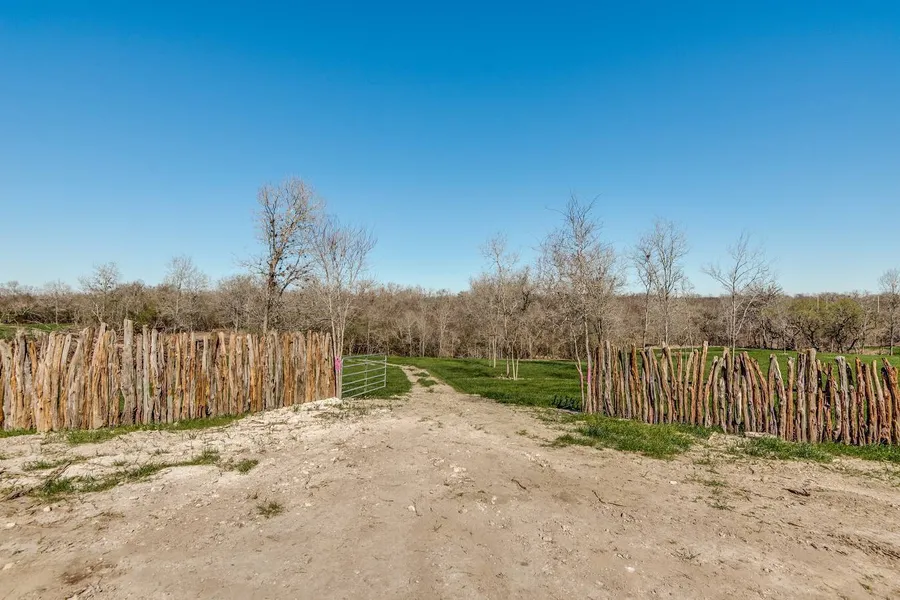
IMPROVEMENTS: Cedar Fence, access along river, selectively cleaned up
EASEMENTS: none
TOPOGRAPHY: Gentle slope with several draws that lead to the river
TAXES: Goliad Co
LIVE WATER: 1000 feet of San Antonio River adjoining the Texas State Park Mission Espiritu Santo
WATER: 1000 feet of San Antonio River
MINERALS: none
TERRAIN: Directly across the river is the Spanish Colonial Era Mission of Nuestra Senora del Espiritu Santo de Zuniga, a Texas State Park.
Walking distance from Presidio La Bahia, General Zaragoza Birthplace, and a short distance from downtown historic Goliad. The city of Goliad offers a quaint town square featuring the recently renovated Goliad County Courthouse, which has been restored to its original 1894 appearance.
EXEMPTIONS: none
WELLS and TANKS: City Water availible
WILDLIFE: Land: Deer and Turkey River: Yellow, Blue, and Channel catfish. Bass, Alligator Gar, and more.
History: Spanish military map from 1767 depicts what was on this historic property at that time. Berlandier`s 1830 drawing of the Presidio La Bahia as seen from the Mission Espiritu Santo also depicts what was potentially on the property.
Artifacts: Transom ware, Majolica pottery, and more artifacts already discovered on the property. Several Foundations from what were Spanish soldiers housing have been found. Location of the ``Canoa`` River crossing on the ``Camino De San Antonio Vejar`` as seen on the 1767 Map is potentially here. -2/21/2018
From elevation to risk assessment
Search for detailed parcel information including; Elevation & Vegetation Maps, Ownership Information, Detailed Parcel Information, Crop History Map, Soil Survey Productivity Data, and more.
Research Parcel InformationResources
Land for Sale by Chris Stearns
Goliad County Properties By Type
- Ranches for Sale in Goliad County, Texas
- Hunting Land for Sale in Goliad County, Texas
- Farms for Sale in Goliad County, Texas
- Residential Property for Sale in Goliad County, Texas
- Undeveloped Land for Sale in Goliad County, Texas
- Horse Property for Sale in Goliad County, Texas
- Recreational Property for Sale in Goliad County, Texas
- Lakefront Property for Sale in Goliad County, Texas
- Riverfront Property for Sale in Goliad County, Texas
- Timberland for Sale in Goliad County, Texas
- Commercial Property for Sale in Goliad County, Texas
- Beachfront Property for Sale in Goliad County, Texas
Properties for Sale Nearby Counties
Goliad County Properties By City
- Berclair, Texas Land for Sale
- Fannin, Texas Land for Sale
- Goliad, Texas Land for Sale
- Weesatche, Texas Land for Sale
- Ander, Texas Land for Sale
- Charco, Texas Land for Sale
- Sarco, Texas Land for Sale
- Schroeder, Texas Land for Sale
- Weser, Texas Land for Sale
- Angel City, Texas Land for Sale
- Melo, Texas Land for Sale
- O'Donnell Place, Texas Land for Sale
- More